
Condition Report
Contact Information
Lot 4
Lot Description
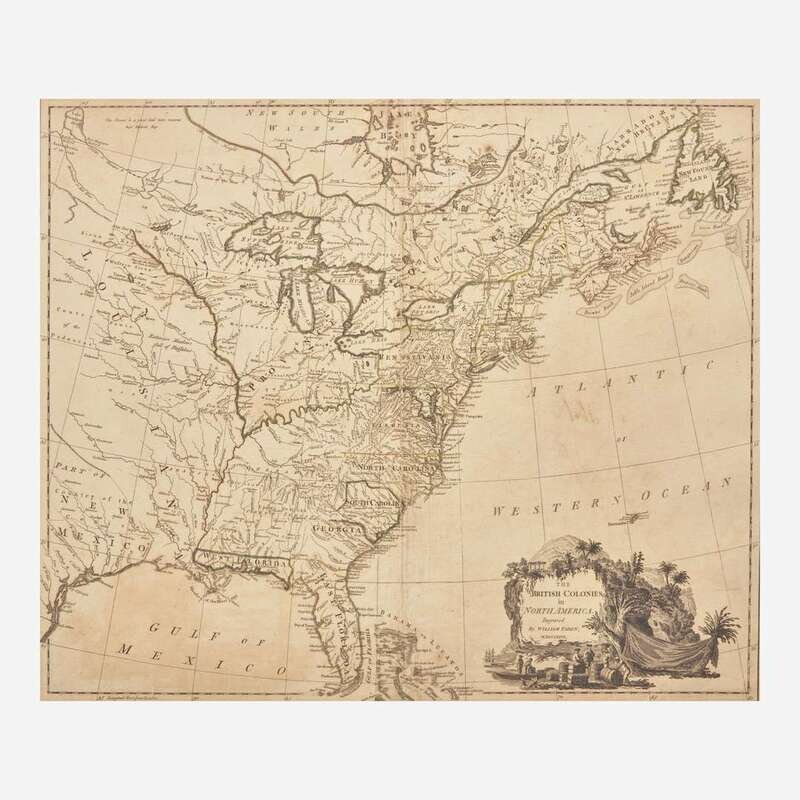
Rare First Edition of William Faden's Revolutionary-Era Map of the United States
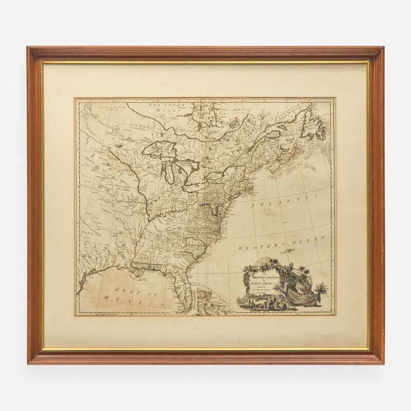
(London): William Faden, 1777. Engraved map with old hand-colored outlining; 21 3/4 x 29 3/4 in. (552 x 756 mm). Engraved by William Faden. Partially mounted to mat; vertical separation traversing center fold; short closed tear, bottom left corner. In frame, 30 x 34 in. (762 x 864 mm). Stevens & Tree 80a, in Tooley's Mapping of America; Phillips, A List of Maps of America, p. 589
A rare first edition of British cartographer William Faden's map of North America, depicting the young United States at the beginning of the American Revolution. Published a year after the United States declared independence from Great Britain, this map first appeared in Faden's monumental North American Atlas (London, 1777). Its geography is largely derived from John Mitchell's great 1755 map of North America, with whom Faden worked with to publish the fifth edition, in 1778. In the years following this 1777 first edition Faden frequently updated the map to reflect the political and territorial development of the United States, ultimately publishing 13 additional versions over the next 60 years (1783-1843). Each map in this sequence captures a distinct moment in the young republic's transformation, and this edition--considered the "Parent Plan" (Stevens & Tree, p. 100 in Tooley's The Mapping of America)--is noteworthy for showing an enlarged Province of Quebec that extends down to the Ohio River. A result of the Quebec Act of 1774 that consolidated British possessions in former French Canada, the Act enraged American colonists for its protection of Catholicism and for its restriction of territorial expansion. It was subsequently cited in the Declaration's list of grievances: "For abolishing the free System of English Laws in a neighboring Province, establishing therein an Arbitrary government, and enlarging its Boundaries so as to render it at once an example and fit instrument for introducing the same absolute rule into these Colonies." As seen in this map, Quebec looms large over the 13 colonies, and was viewed by American colonists at the time as a political wedge to keep the largely French and Native residents loyal to Great Britain.
This first edition, as well as its 13 successors, have together come to be regarded as one of the most important cartographic depictions of the young and newly independent republic. The first five issues of Faden's map are extremely rare to the market, and this copy of the parent plan is the first to come to auction in 20 years.