Condition Report
Contact Information
Lot 144
Lot Description
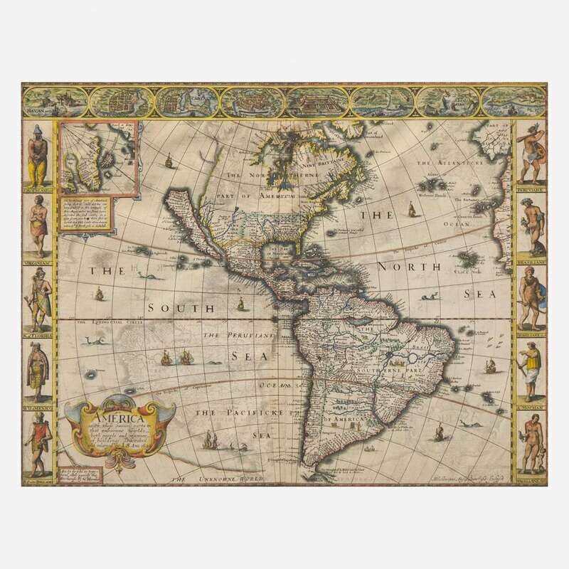
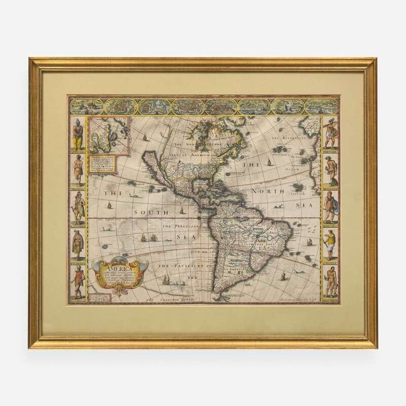
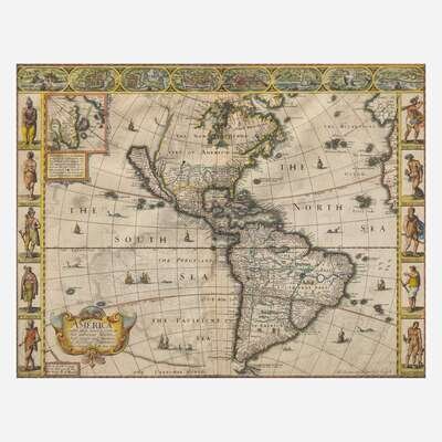
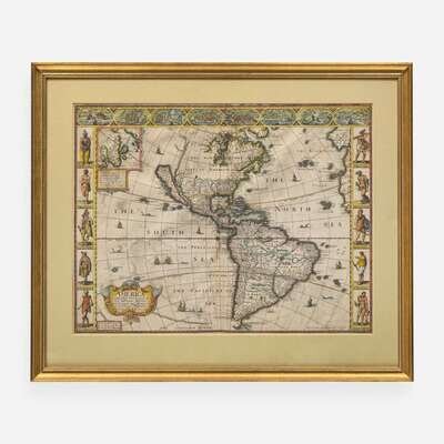
(London): G(eorge). Humble, 1626 (but 1627). Engraved map with hand-coloring, 16 1/16 x 20 3/4 in. (408 x 527 mm). First state. English text on verso. Engraved by Abraham Goos. Edges slightly trimmed; repaired along bottom edge and bottom left edge verso; lower center fold verso reinforced; spotting in upper center verso. In mat and in frame, 21 5/8 x 25 3/4 in. (549 x 654 mm). Burden 217; Tooley p. 113, #2
John Speed's celebrated map of the Americas, "the first published in an atlas to depict California as an island, and an accurate east coast of North America, particularly between Chesapeake Bay and Cape Cod." (Burden p. 269). This map features early portrayals of the fledgling English colonies, Jamestown and Plymouth, an inset view of Greenland, Iceland, and Baffins Bay, and three decorative borders, including birds-eye views of various cities, as well as depictions of indigenous peoples of North and South America. The phantom islands of Brasil and Frisland appear in the North Atlantic.
A handsome impression with lovely hand-coloring.