Condition Report
Contact Information
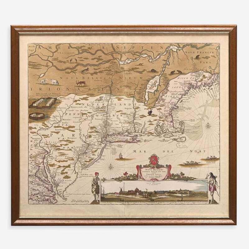
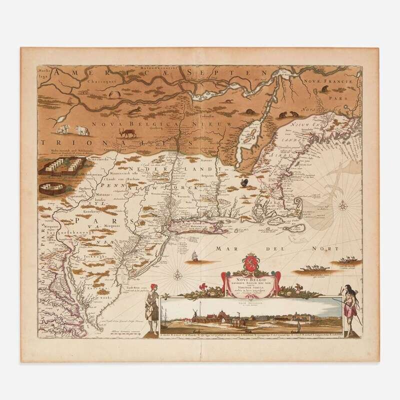
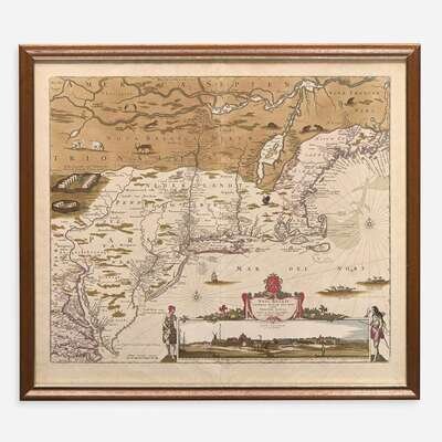
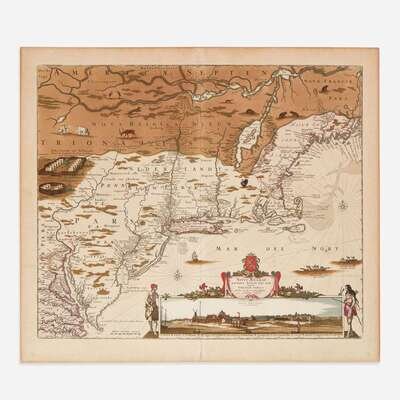
Lot 23
Lot Description
The second published view of the early settlement of New Amsterdam, what would become New York City
(Amsterdam, ca. 1684). Fourth state. Hand-colored engraved map depicting New England south to the Chesapeake Bay, and including an important inset view of New Amsterdam. 28 x 24 in. (711 x 610 mm). Sheet toned; slight mat burn along edges; scattered light spotting; hand-coloring slightly faded; hand-coloring of New France darkened. Burden 315
An early map of northeastern North America, including New England and parts of New France, and south to the Chesapeake Bay. An important inset view of the settlement of New Amsterdam on the island of Manhattan is depicted at bottom, and, according to Burden, is "probably the second published view of the city, the first being that of Joost Hartgers in 1651." Philadelphia's grid plan is also depicted--added here by Visscher's son, Nicolaas Jansz. Visscher II, after he took over the operation of his father's business after his death in 1679--and is based on Thomas Holme's plan of the town published the year before, in 1683. This map is largely derived from Joannes Janssonius's map of 1651.