
Condition Report
Contact Information
Lot 391
Sale 5792 - Books, Maps & Manuscripts
Jan 30, 2020
8:00AM ET
null / Philadelphia
Own a similar item?
Estimate
$100 -
150
Lot Description
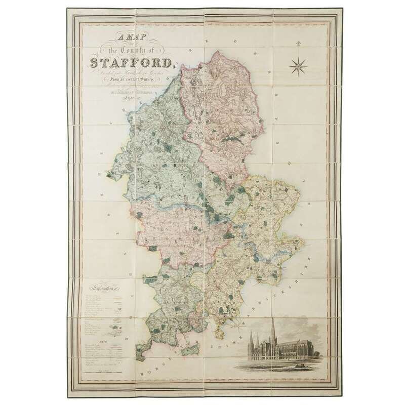
[Maps & Atlases] [England] Phillips, J. and W.H. Hutchings A Map of the County of Stafford Divided into Hundreds of Parishes. From an Accurate Survey, Made in the Years 1831 and 1832
London: Henry Tessdale & Co., 1832. Engraved map comprising 40 panels with contemporary hand-coloring; linen backed and edged in green silk; marbled endpapers; in original mottled tree calf pull-off slipcase, light wear to extremities, some small abrasions; stamped in blind and in gilt. 53 1/2 x 39 1/2 in. (135.8 x 100.3 cm).