Condition Report
Contact Information
Lot 384
Lot Description
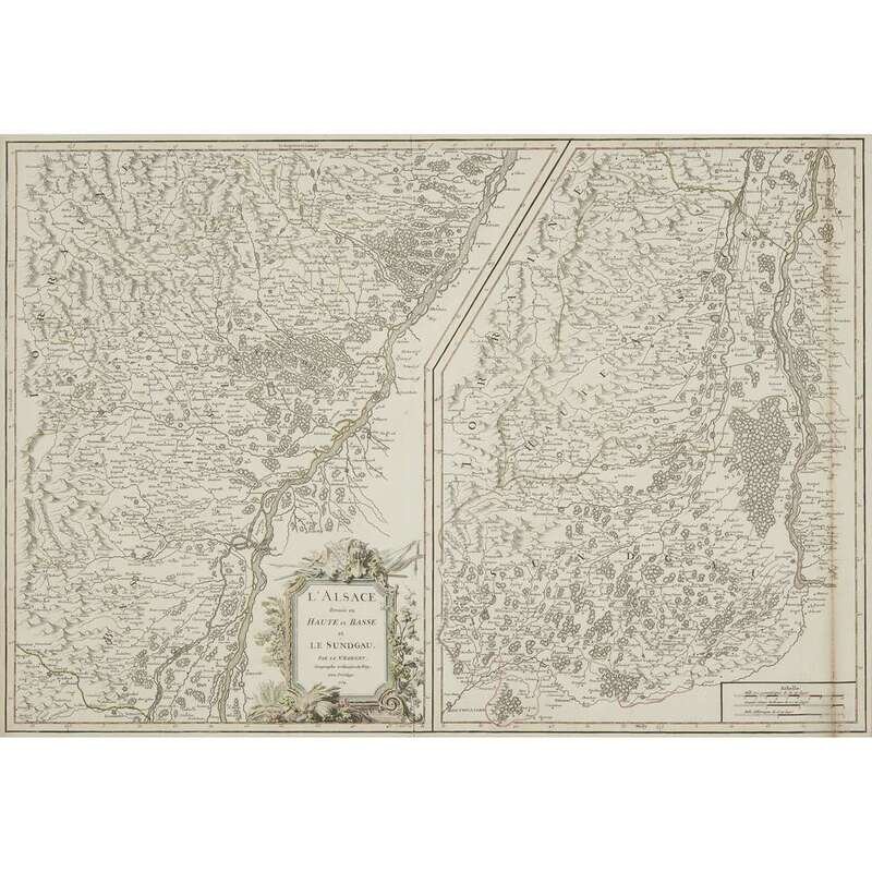
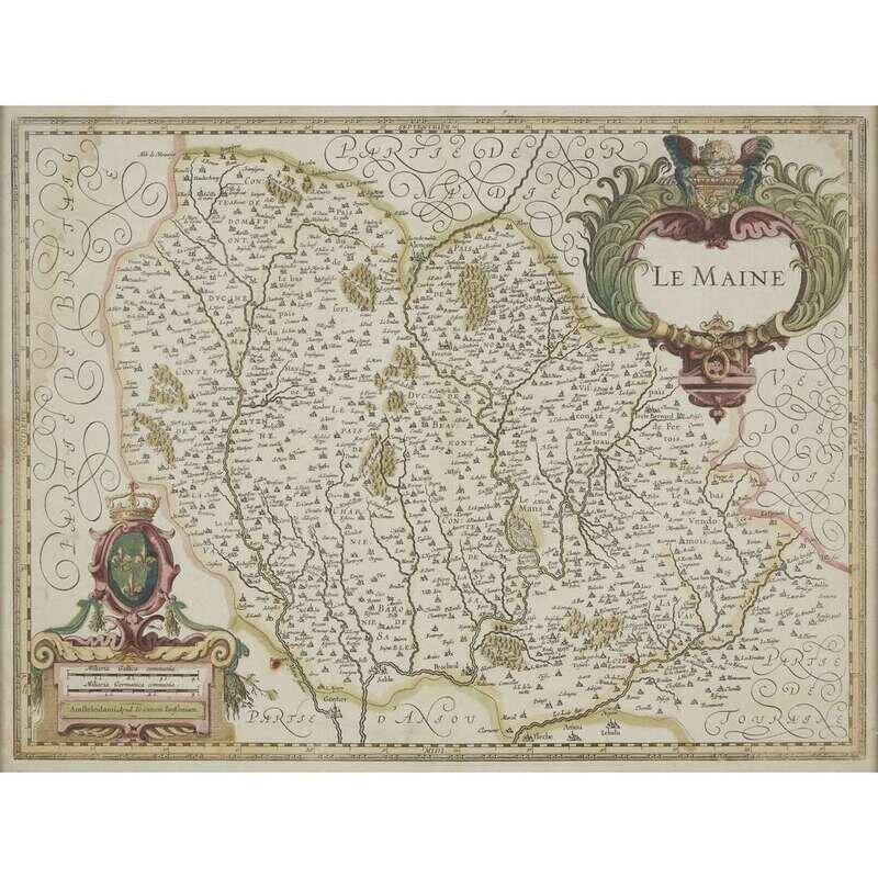
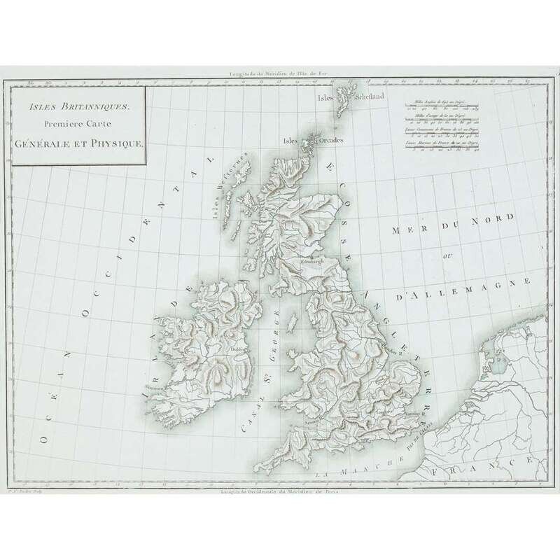
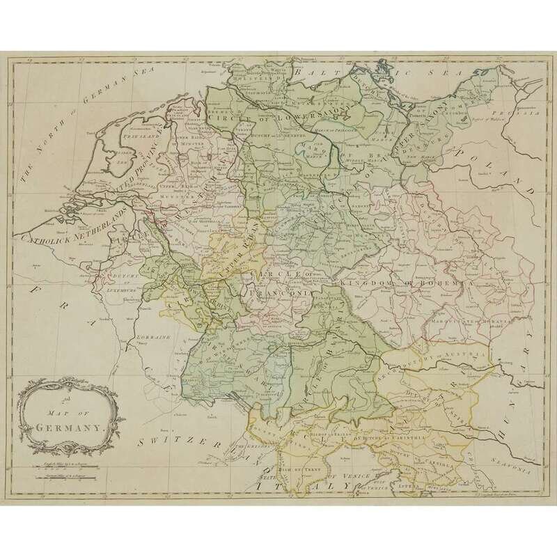
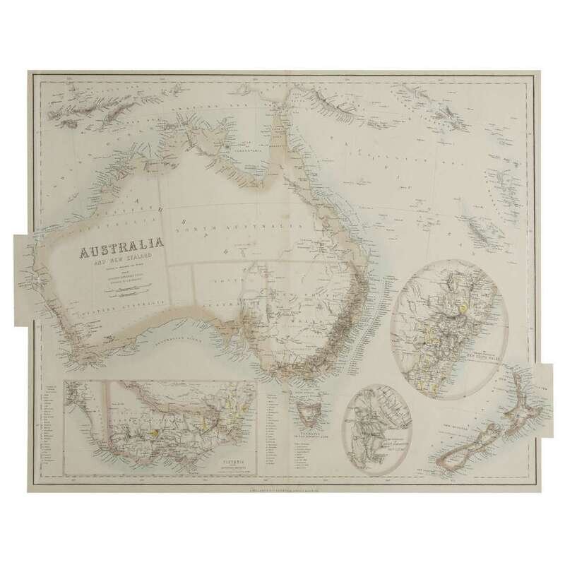
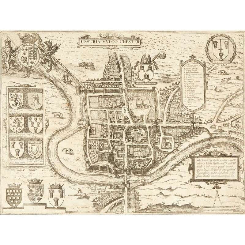
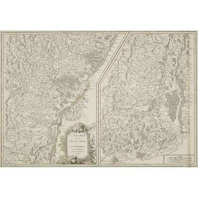
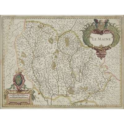
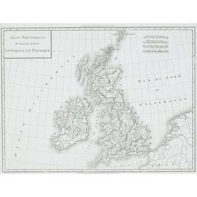
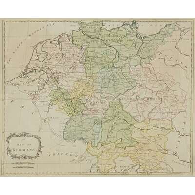
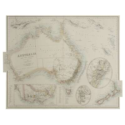
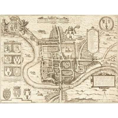
Braun, Georg, and Franz Hogenberg "Cestria Vulgo Chester" (Cologne, after 1581). Uncolored engraving. Later printing, with no text on verso and without the three human figures accompanied by a dog at bottom right. Plate: 12 5/8 x 17 1/16 in. (323 x 434 mm), with full margins. Lightly to moderately toned, some spotting in margins, separation at centerfold in top margin. See Fussel pp. 206-207. Tardieu, Pierre Francois "Isles Britanniques. Premiere Carte Generale et. Physique" (Paris, presumed 1797). Uncolored engraving, printed on blue-green paper. Plate: 13 1/16 x 17 1/2 in. (334 x 442 mm, with full margins. Side margin mounted and matted. Jansson, Jan "Le Maine." (Amsterdam, 1636-1680). Hand-outline-colored engraving, with hand-colored cartouche, scale, and French Coat of Arms. Plate: 14 7/8 x 19 5/8 in. (378 x 498 mm). Minor dampstaining at borders of body of map. Not examined out of frame. Robert de Vaugondy, Gilles "L' Alsace divisee en Haute et Basse et Le Sungau." Paris, 1754. 19 x 27 1/2 in. Hand-outline-colored engraving. Plate: (482 x 698 mm). Framed. Palairet, Jean, et al "Map of Germany" (London, 1755-1771). Partly hand-colored engraving. Plate: 17 3/4 x 21 1/4 in. (450 x 540 mm), with full margins. Lightly toned. Top hinge mounted and matted. Peterman, Augustus "Australia and New Zeland" Edinburgh, London, and Dublin, (ca. 1864). Partially colored lithograph. Approximately 17 x 22 in. (432 x 558 mm). Matted.