Condition Report
Contact Information
Lot 316
Sale 6115 - Books & Manuscripts
Sep 19, 2019
8:00AM ET
null / Philadelphia
Own a similar item?
Estimate
$12,000 -
18,000
Price Realized
$10,000
Sold prices are inclusive of Buyer’s Premium
Lot Description
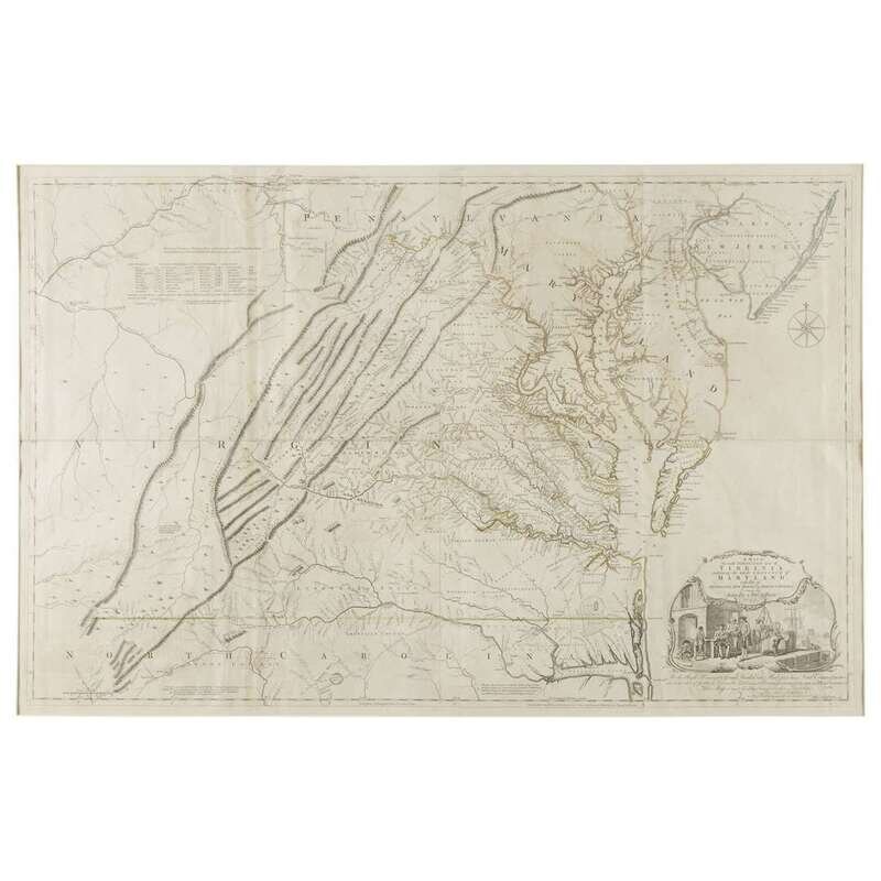
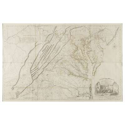
[Maps] [Virginia] Fry, Joshua, and Peter Jefferson A Map of the Most Inhabited parts of Virginia, containing the whole Province of Maryland with part of Pennsylvania, New Jersey and North Carolina
London: for Rob. Sayer and Thomas Jefferys, (1775). Sixth state. Four sheets joined together. Engraved map with original hand-coloring. With the Table of Distances dated, "J. Daltymple, London, Janv ye 1st 1755." Light offsetting (from when map was folded), minor toning at edges, scattered spotting. Stevens & Tree 87(f) Sheet: 31 x 48 1/2 in. (79 x 123cm). Plate mark: 39 1/4 x 50 3/4 in. (100 x 129cm).