
Condition Report
Contact Information
Lot 309
Sale 6115 - Books & Manuscripts
Sep 19, 2019
8:00AM ET
null / Philadelphia
Own a similar item?
Estimate
$250 -
400
Price Realized
$281
Sold prices are inclusive of Buyer’s Premium
Lot Description
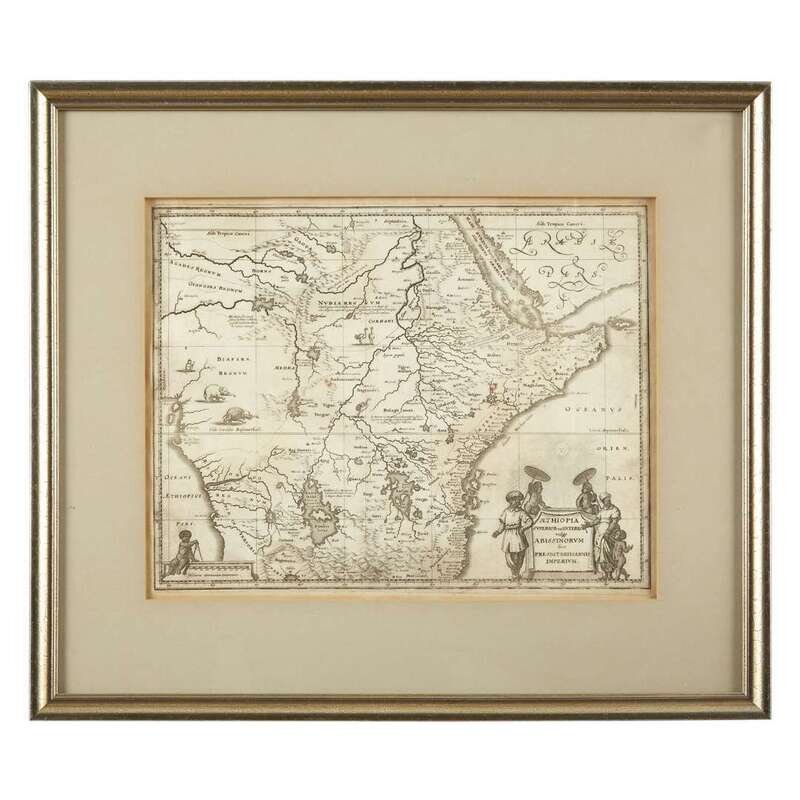
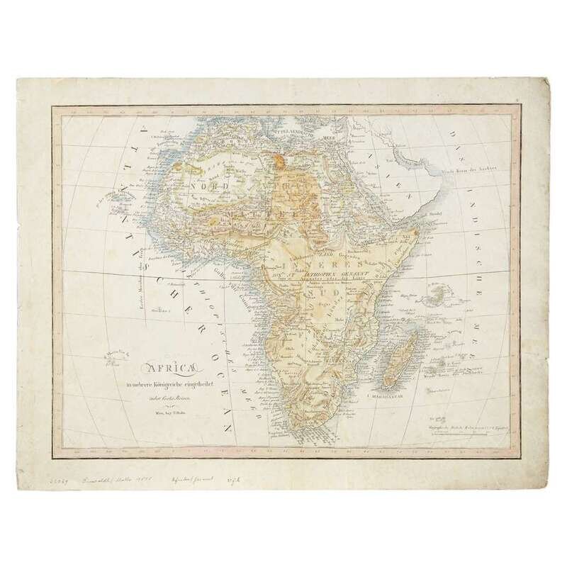
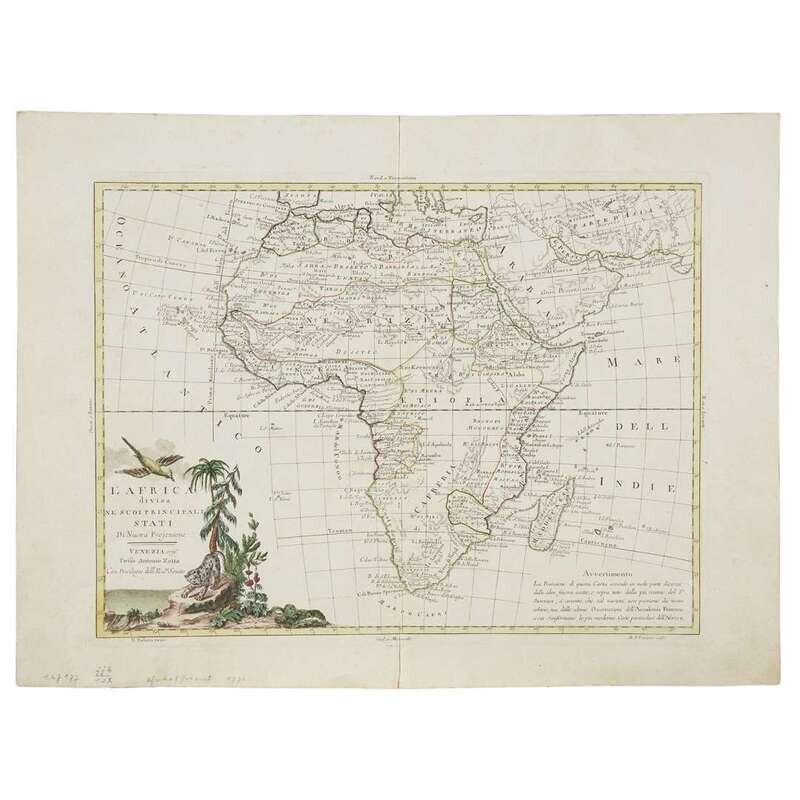
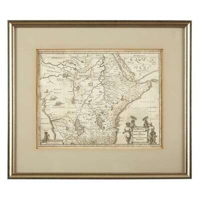
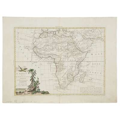
[Maps] [Africa] Group of Three 17th-19th Century Maps of Africa
1. Bleau, W. J. Aethiopia superior vel interior vulgo Abissinorum sive Presbiteri Joanis Imperium (Amsterdam, ca. 1650). Engraved map, margins toned. 11 1/2 x 14 3/4 in. (29 x 37cm). Framed. 2. Zatza, Antonio. L'Africa divisa nevSuoi principali Stati di nueva projezione Venice, 1770. Engraved map, outlined in original hand-color; minor soiling in margins, light vertical crease at center. 12 3/8 x 16 3/16 in. (31 x 41cm). 3. Mollo , T. Africa Vienna, (ca.1818). Engraved map, in original hand-color; creasing and minor soiling in margins. 13 x 17 5/8 in. (33 x 45cm).