

Condition Report
Contact Information
Lot 864
Lot Description
2 vols. 2 vols.
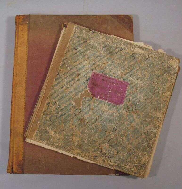
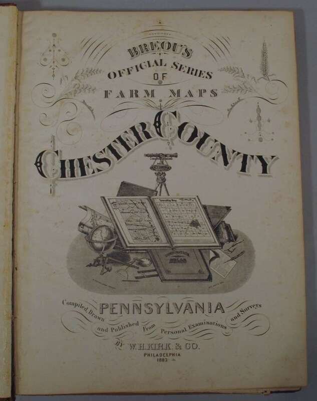
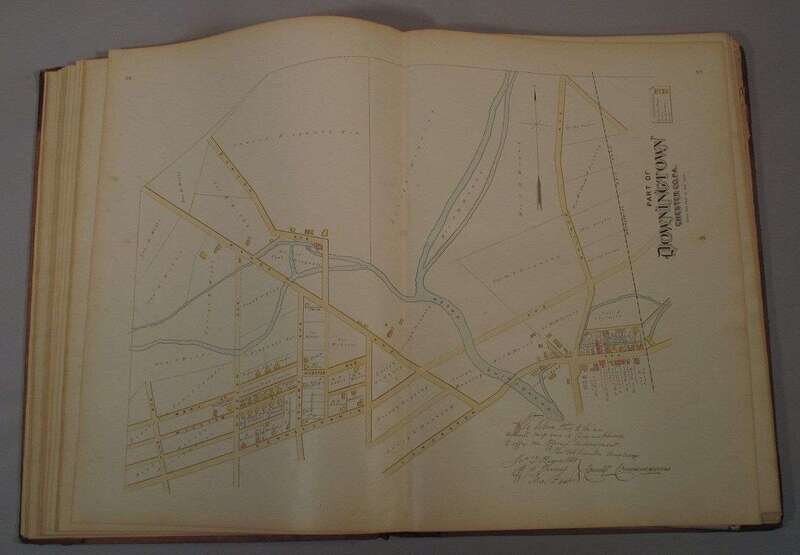
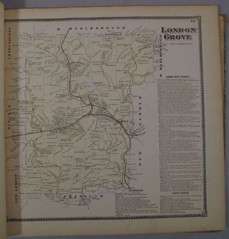
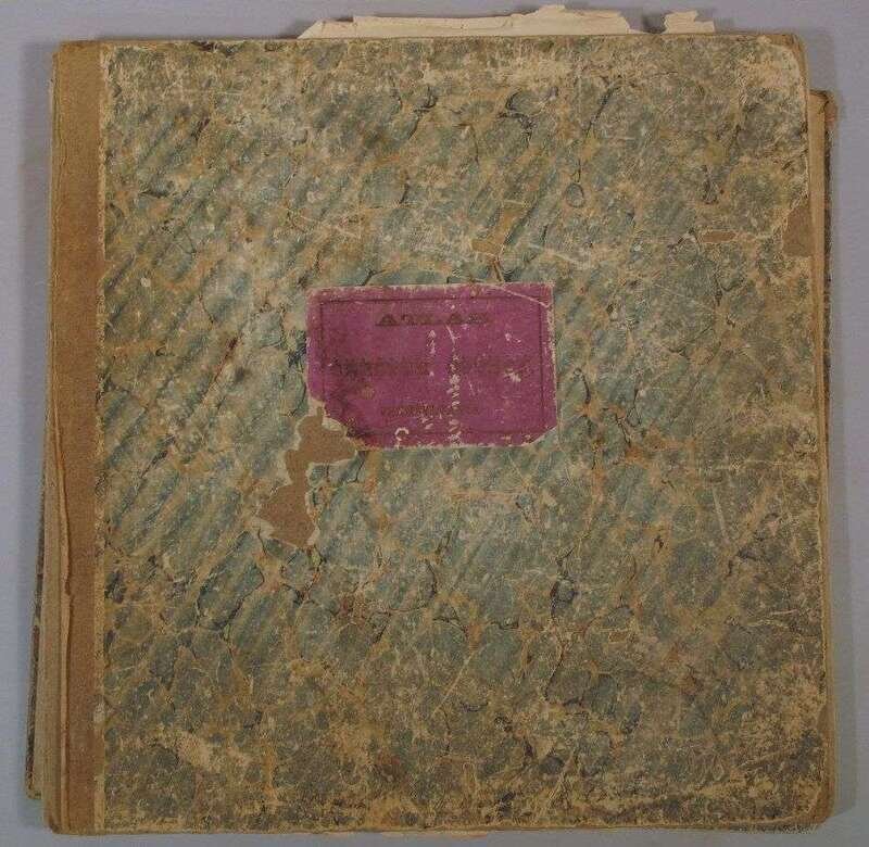
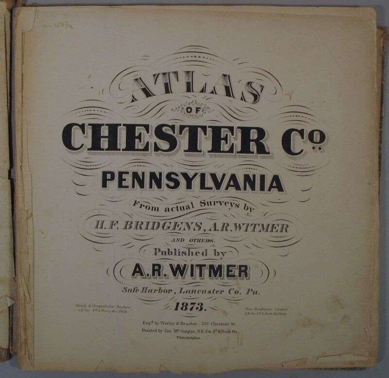
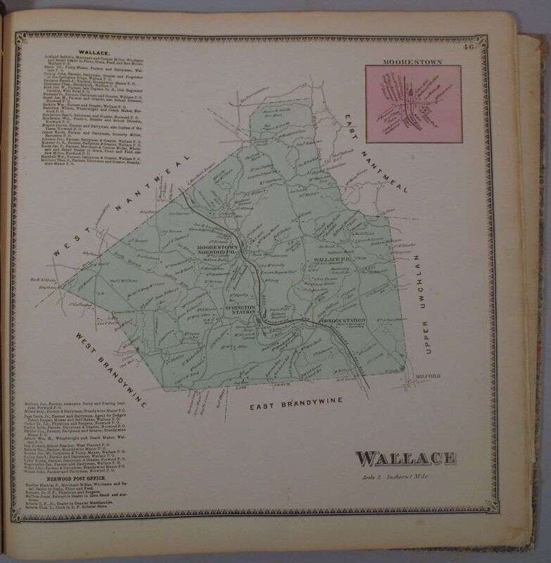
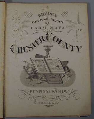
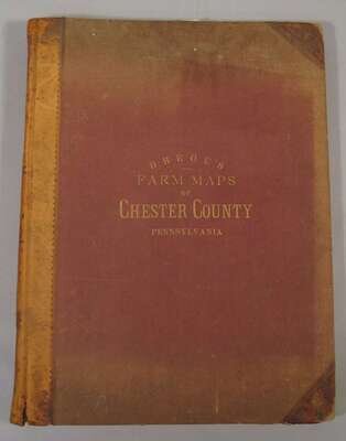
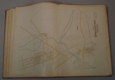
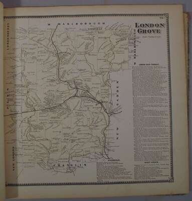
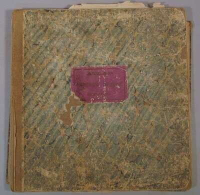
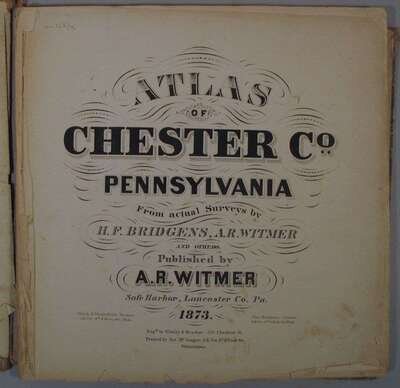
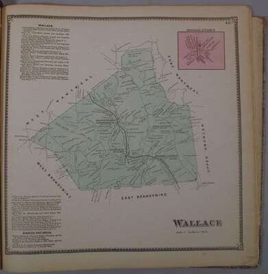
Chester Co. 19th-Century Atlases: Bridgens, H.F.; Witmer, A.R., et al Atlas of Chester Co. Pennsylvania. Safe Harbor, Pa: A.R Witmer, 1873. Sq. folio, orig. bds, printed purple cover label; worn, covers detached. With 57 borough & Township color maps + fold color "Map of Chester Co. by H.F. Bridgens" inserted. Title, front blank & Phila. Business card sheet at back creased & chipped. Moderate spotting to maps, old cellotape repairs to verso of fold map - some wear along folds. Le Gear L-3018. * (Kirk, W.H., pub.) Breou's Official Series of Farm, Maps. Chester County. Phila., 1883. Folio, orig. sheep & cloth; spine & corners rubbed, other moderate wear. With 80 color maps - many double-page. Light to moderate foxing to title-page & front matter, scattered, generally light foxing to maps, East Nantucket map torn & chipped, light to moderate foxing to several other maps. Le Gear L-3019. Sold with all faults.