


Condition Report
Contact Information
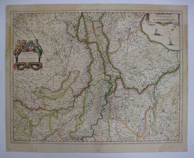
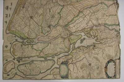
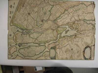
Lot 613
Lot Description
9 pieces. 9 pieces.
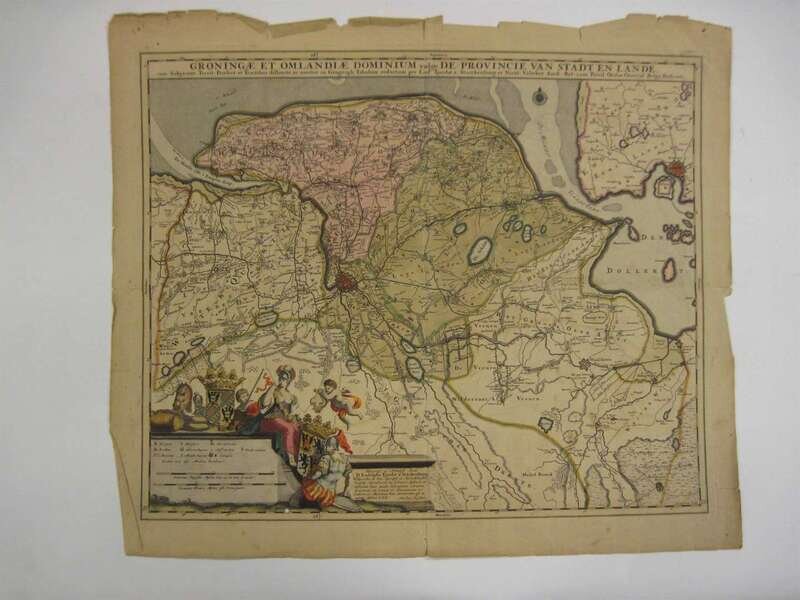
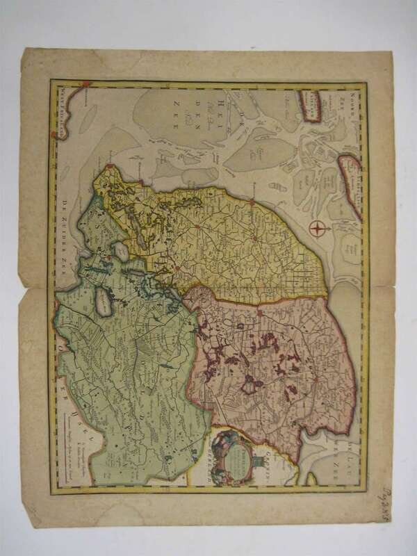
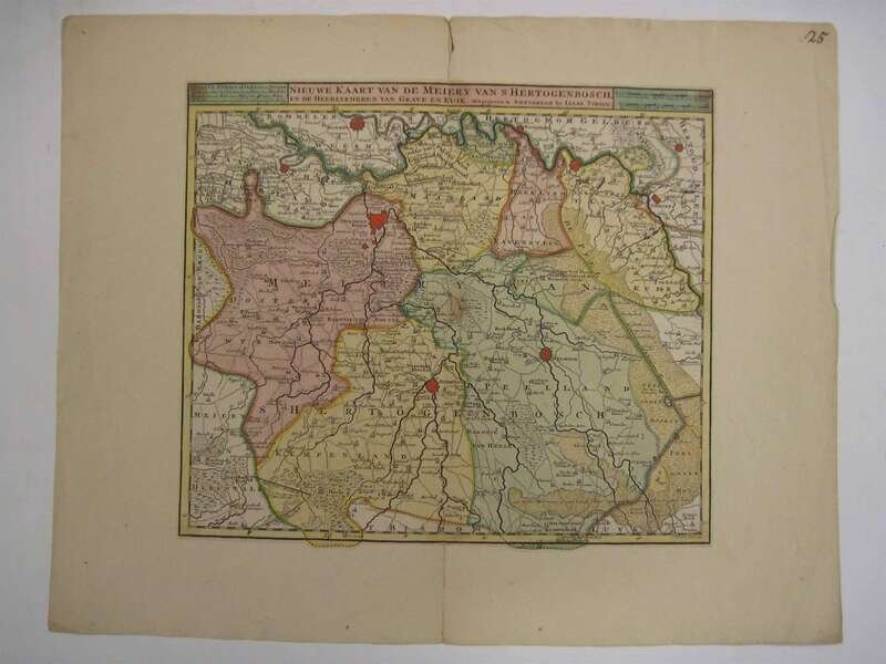
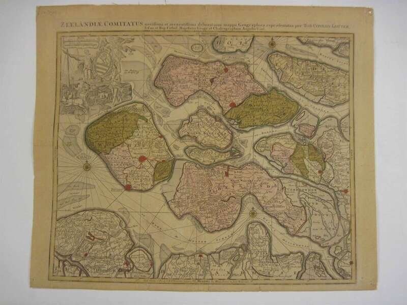
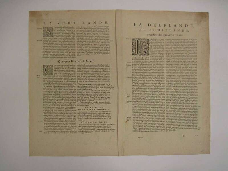
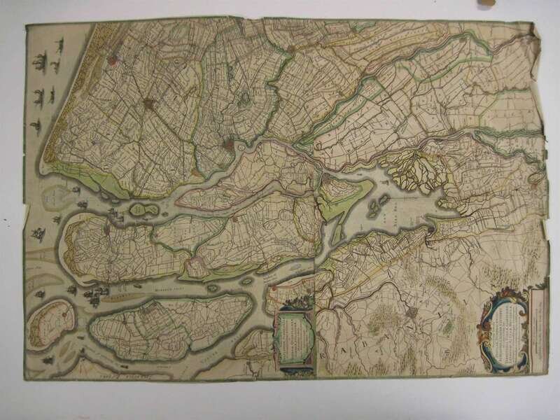
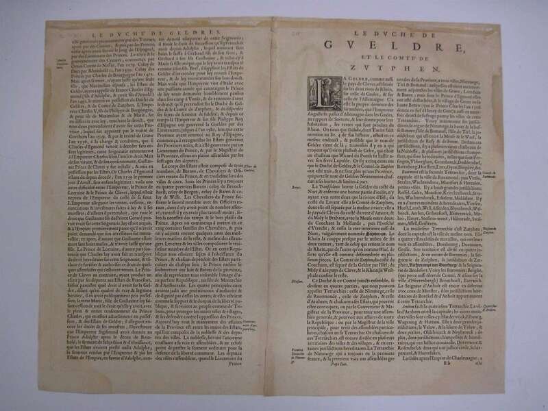
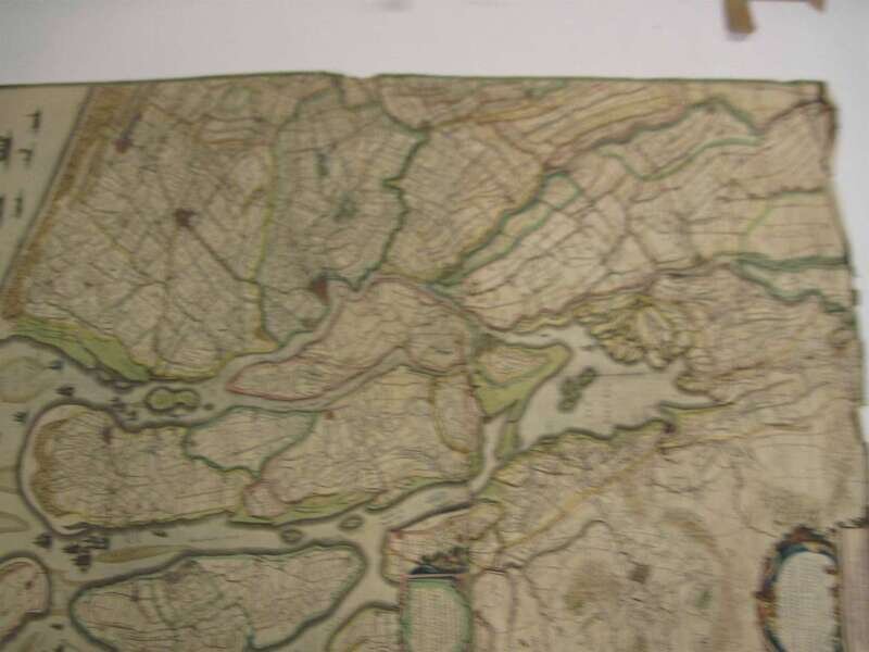
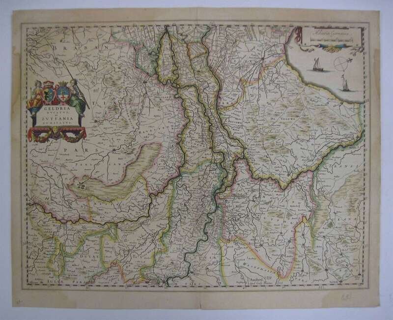
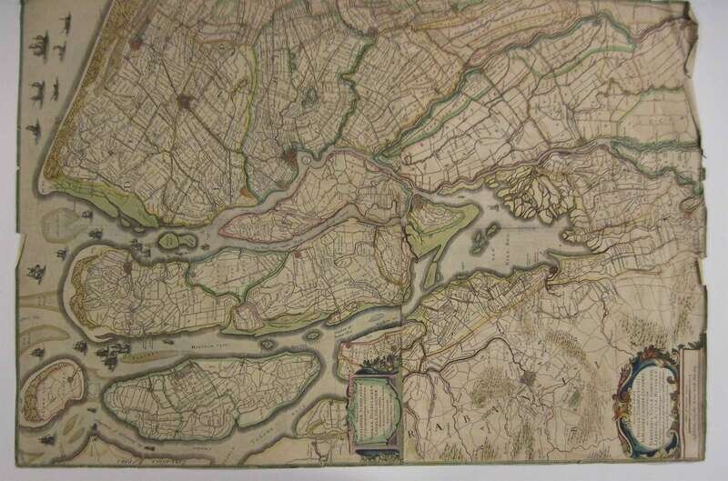
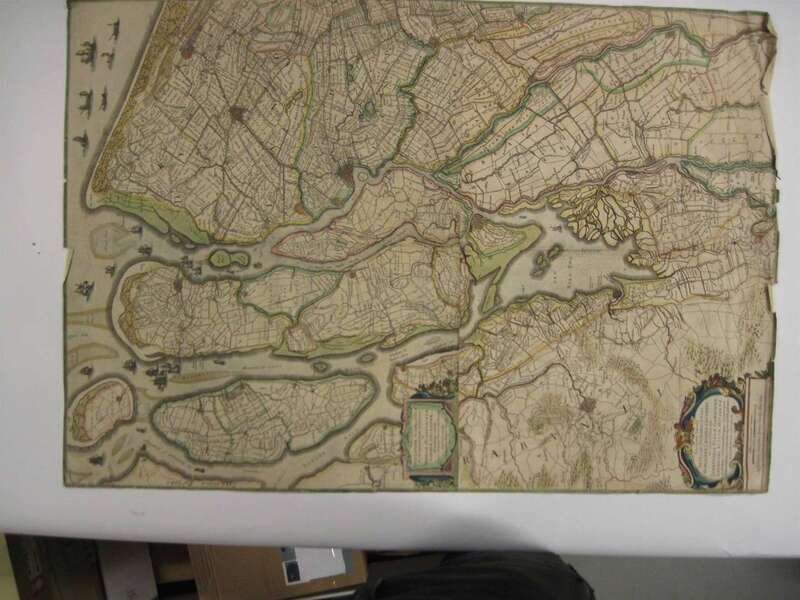
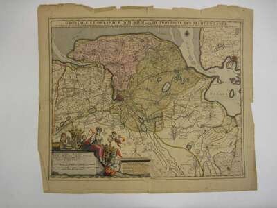
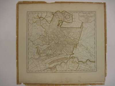
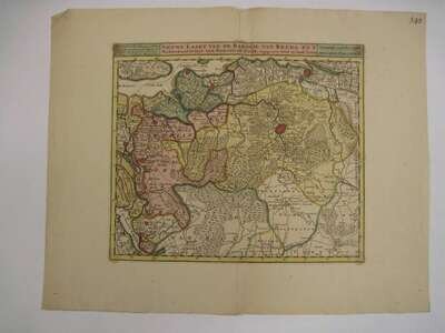
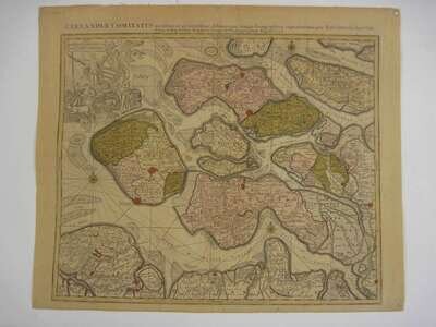
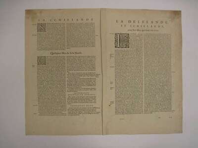
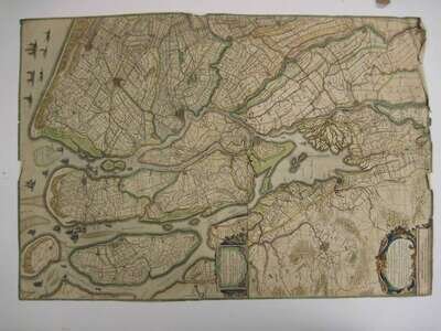
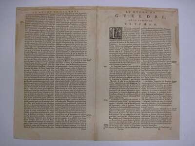
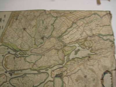
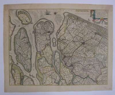
Hand Colored Engraved 17th & 18th Century Dutch Maps of Regions of the Netherlands: Bleau, Cornelius. "Geldria Ducatus, et Zutfania Comitatus." [Amsterdam], [1649]. 15 1/2 x 19 1/2 inches; 400 x 500 mm, margins. * _ _ "Delflandia, Schielandia, et Insuale Trans Mosam,.."[Amsterdam], [c1650]. 15 1/2 x 20 inches; 390 x 510mm, margins. * Visscher, Nicholaes II. "Groningae et Omlandiae Dominum..." [Amsterdam], [c1700]. 18 x 22 inches; 460 x 560 mm., margins. Chipping to edges, some toning & minor dust soiling. * Hondius, Henricus. "Novissima Delflandiae,.." [Amsterdam], [c1629]. 31 x 21 1/2 inches; 785 x 545mm. Close trimmed, chipping at edges. * Lotter, Conrad. "Zeelandiae Comitatus." Augsburg, ca 1760. 19 1/2 x 22 1/2 inches; 495 x 570 mm, margins toned. * Tirion, Isaac. "Nieuwkarte van de Baronie Van Breda."; "Nieuwe Kart Van de Meiery Van's Hertogenbosch." Amsterdam, [c1739-57] 10 3/4 x 12 1/2 inches; 273 x 317 mm. * _ _ "Nieuwe Kaart van Het Nederkwartier..Utrecht." Amsterdam, [c1739-57]. 13 1/2 x 15 3/8 inches; 343 x 390mm, margins. Outline color only. * Ottens, J. "Friesland." [Amsterdam], [c1750]. 13 x 16 1/2; 330 x 420mm, margins moderate foxing, some dampstaining. All with some generally moderate wear.