Condition Report
Contact Information
Lot 509
Lot Description
1 piece. 1 piece.
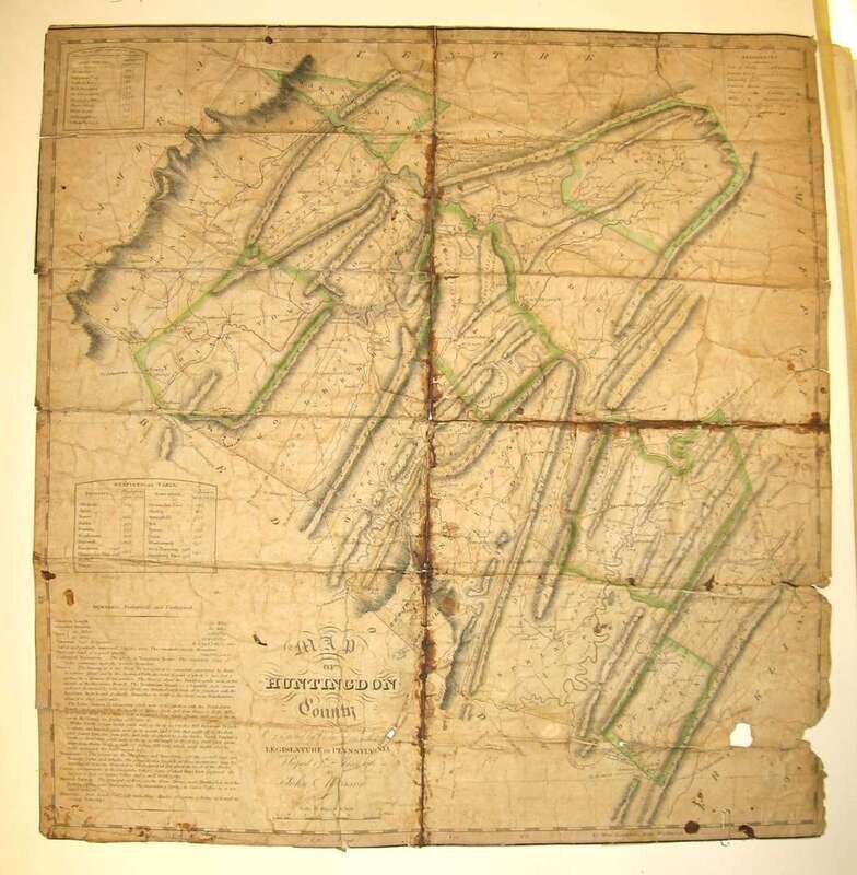
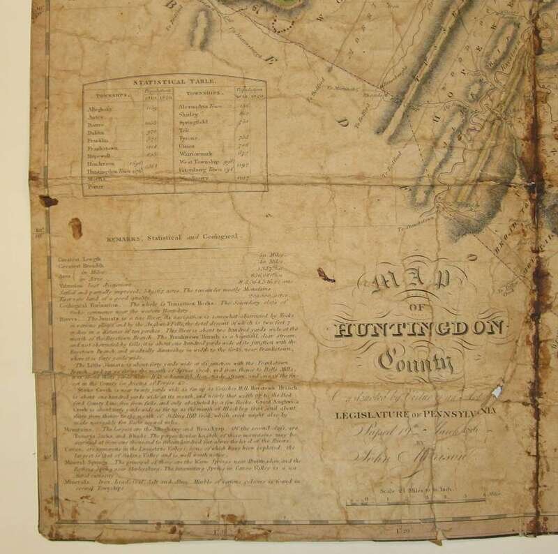
Hand-Colored Engraved Map. Morrison, John; [Melish, John?] "Map of Huntingdon County, Constructed by Virtue of an Act of The Legislature Passed 19th March, 1816." N.p., n.d. [ca. 1820?] 20 1/2 x 20 inches; 520 x 508 mm, linen-backed; chipped along edges, creased & darkened along old folds, 1 x 3/4 inch chip in lower right portion of map.
Melish was commissioned to produce a state map of Pennsylvania in 1816. This project entailed the production by Melish & others of Pennsylvania county maps. The printing of the above first map of Huntingdon County, perhaps produced by Melish himself, is apparently an unrecorded first edition printing. The Melish Pennsylvania State Map was issued in 1822.
See Ristow, Walter W., American Maps and Mapmakers, pp. 110-113