Condition Report
Contact Information
Lot 1098
Lot Description
3 vols. 3 vols.
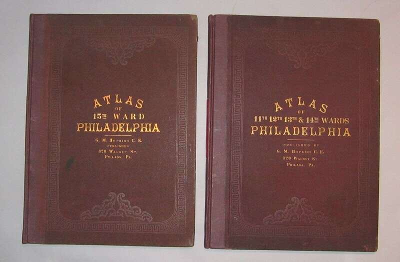
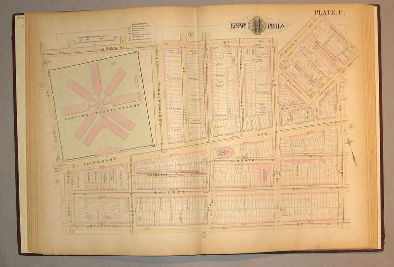
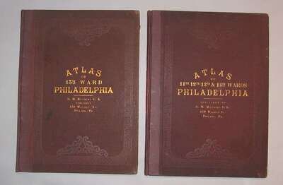
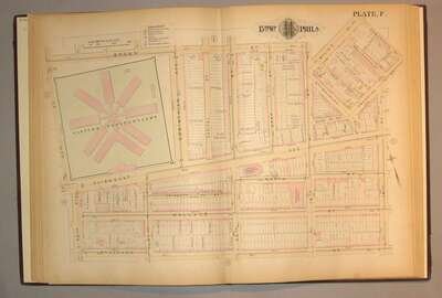
(Philadelphia 19th-Century Ward Atlases.) Hopkins, G.M., pub.: City Atlas Philadelphia. 29th Ward. Philadelphia, 1882. Folio, orig. gilt-lettered green cloth, rebacked; moderate wear to extremities. Double-page index map + 17 double-page color maps. Occasional minor internal smudging, edges occasionally slightly browned. Poplar to Columbia, Broad to 33rd Street. * Atlas of The City of Philadelphia. 11th, 12th, 13th & 14th Wards. Philadelphia, 1885. Folio, orig. gilt-lettered brown cloth, rebacked, new endpapers; some edge wear. Double-page index map + 14 double-page color maps. Scattered internal smudging, edges slightly browned. Vine to Poplar, Delaware River to Broad Street. * Atlas of The City of Philadelphia. 15th Ward. Philadelphia, 1885. Folio, orig. gilt-lettered purple-brown cloth, rebacked, new endpapers; light to moderate edge wear. Double-page index map + 13 double-page color maps. Scattered, generally light internal smudging, edges slightly browned. Vine to Poplar, Broad Street to Schuylkill River.