
Condition Report
Contact Information
Lot 314
Lot Description
8vo (219 x 133 mm). (Some soiling and toning, a few short tears not affecting text with repairs.) Later half red polished calf, marbled boards, spine gilt-lettered, top edge gilt, others uncut, stamp-signed by Sangorski & Sutcliffe (some minor scuffing, slight wear to corners and spine ends). Provenance: Aragent (signature on p.[5]); Dudley Bell Priester (1923-2017), Mississippi River collector and bibliographer (sold Bloomsbury, 20 November 2009, lot 85).
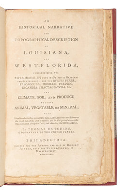
FIRST EDITION of this first-hand account by the "Geographer of the United States" (appointed in 1781). North American surveyor and cartographer Hutchins describes the natural features between West Florida and New Orleans paying particular attention to waterways. He was an early proponent of Manifest Destiny and argued for the United States to annex West Florida and Louisiana from Spain. This narrative resulted from his five years spent in the West Florida region completing surveys for first the British army and later for the Americans after he switched allegiances during the hostilities of the American Revolution. While the report was advertised as having a map, Streeter, Evans, and Sabin confirm no map has ever been located, and presumably, was never issued. Evans 18532; Howes H-831; Sabin 34056; Streeter Sale III:1521.
Property from the Collection of Perry B. Hansen