
Condition Report
Contact Information
Lot 255
Sale 1184 - Fine Printed Books & Manuscripts, including Americana
May 11, 2023
10:00AM CT
Live / Chicago
Own a similar item?
Estimate
$200 -
400
Price Realized
$126
Sold prices are inclusive of Buyer’s Premium
Lot Description
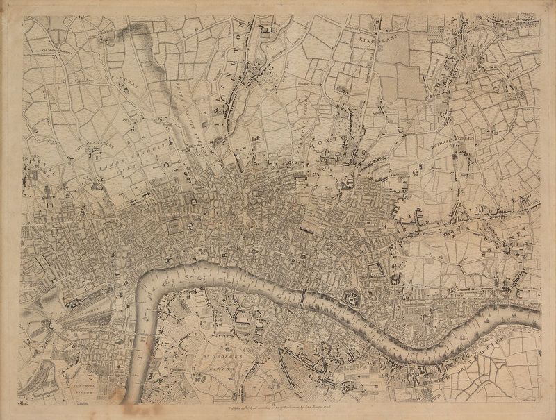
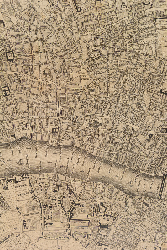
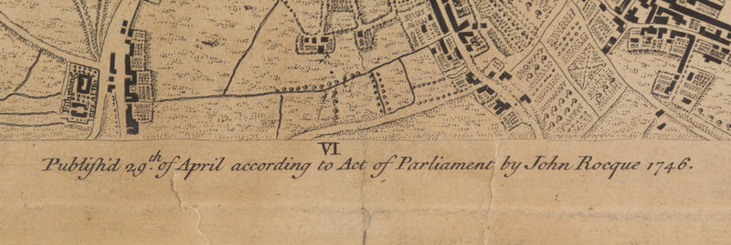
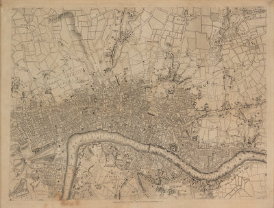
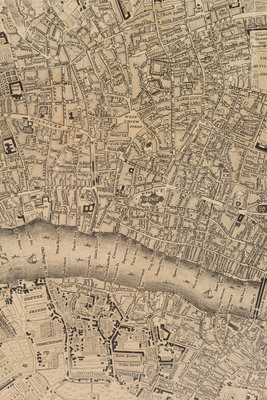
ROCQUE, John (circa 1709-1762) and Richard PARR. A single sheet from An Exact Survey of the City's of London Westminster ye Borough of Southwark. London, 29 April 1746.
Engraved map of Central London, including the River Thames, St. James’s Park, Totthill Fields, St. George’s Fields, Lambs Conduit Fields, Tottenham Court, Hoxton, Bethnal Green, Islington, King Island, Hoxton, and Hackney. (Some browning and soiling, a few short mostly marginal tears.) Overall sheet 546 x 710 mm.
Property from the Fred and Kay Krehbiel Collection