


Condition Report
Contact Information
Lot 717
Sale 1097 - Fine Printed Books & Manuscripts, Including Americana
Lots 1-410
Nov 8, 2022
9:00AM CT
Lots 411-717
Nov 9, 2022
9:00AM CT
Live / Chicago
Own a similar item?
Estimate
$400 -
600
Price Realized
$469
Sold prices are inclusive of Buyer’s Premium
Lot Description
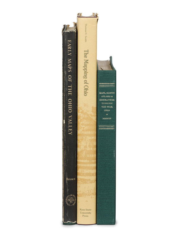
[BIBLIOGRAPHIES -- CARTOGRAPHY]. A group of 16 works regarding the mapping of the Americas, comprising:
BURDEN, Philip D. The Mapping of North America. Hertfordshire, UK: Raleigh Publications, 1996. Publisher's half calf. INSCRIBED BY PHILIP D. BURDEN. -- GUTHORN, Peter J. United States Coastal Charts 1783-1861. Exton, PA: Schiffer Publishing Ltd., 1984. Publisher's blue cloth; original dust jacket. -- PORTINARO, Pierluigi and KNIRSCH, Franco. The Cartography of North America 1500-1800. New York: Facts on File, Inc., 1987. Publisher's dark blue cloth; original dust jacket. -- SHIRLEY, Rodney W. The Mapping of the World: Early Printed World Maps, 1472-1700. London: The Holland Press, 1983. Publisher's red cloth; original dust jacket. -- SMITH, Thomas H. The Mapping of Ohio. [Kent, OH]: The Kent State University Press, 1977. Publisher's ivory cloth; original dust jacket. -- The Hill Collection of Pacific Voyages at the University of California, San Diego. New Haven: William Reese Company, 2004. Publisher's blue cloth. -- Together, 16 works in 19 volumes, various folio and 4to sizes, most FIRST EDITIONS, condition generally fine.
Property from the Collection of Dorothy and Richard Fitch
This lot is located in Chicago.