Condition Report
Contact Information
Auction Specialist
Lot 129
Sale 1095 - American Historical Ephemera & Photography, Featuring Property from the James Milgram, M.D., Collection of Broadsides, Ephemeral Americana & Historical Documents
Day 1 Lots 1-403
Nov 3, 2022
10:00AM ET
Day 2 Lots 404-634
Nov 4, 2022
10:00AM ET
Live / Cincinnati
Own a similar item?
Estimate
$300 -
400
Price Realized
$406
Sold prices are inclusive of Buyer’s Premium
Lot Description
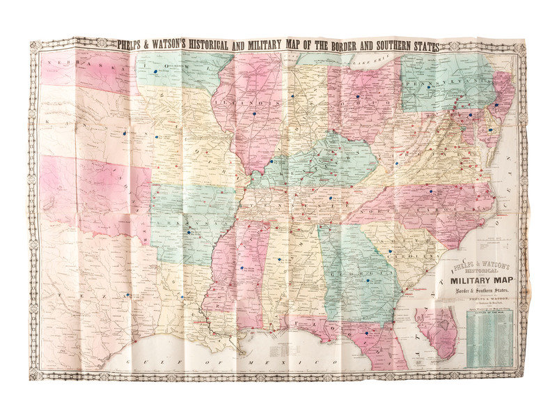
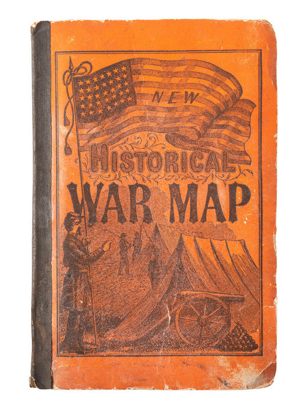
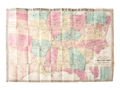
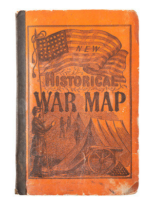
[CIVIL WAR]. Phelps and Watson's Historical and Military Map of the Border and Southern States. New York: Phelps & Watson, 1864.
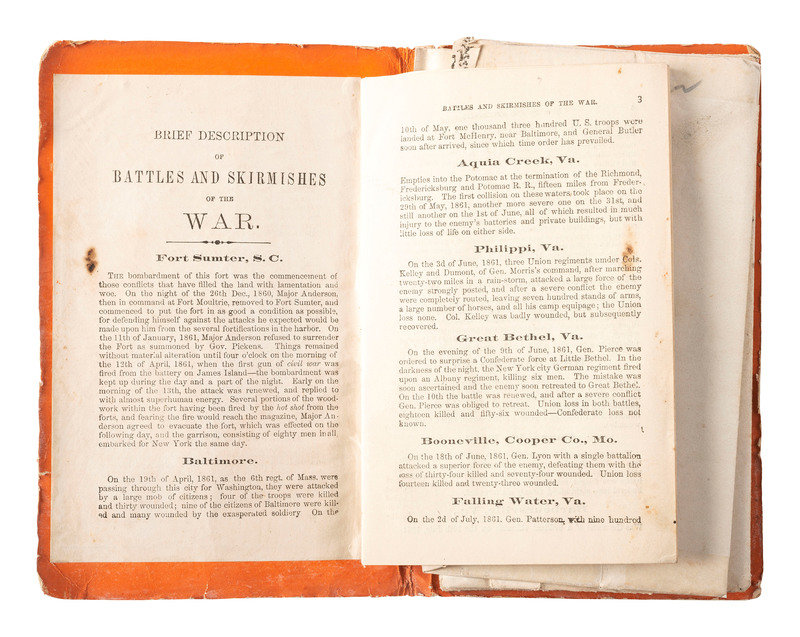
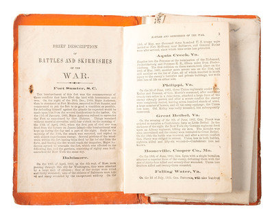
25 x 35 in. folding map bound within original 4 1/2 x 6 1/2 in. boards with illustrated cover (some areas of partial separation at fold lines, some edge wear to map; wear to boards, incl. spine, edges and corners). The map is bound together with 35pp. of text entitled, "Brief Description of Battles and Skirmishes of the War," which covers significant events and battles from December 1860 to May 1864.
The map, which focuses on the southern United States (including the Confederate States), all of the Border States, and some of Texas, contains much statistical detail such as state populations (South Carolina 703,512 including 405,541 enslaved people).
Property from William H. Itoh, collector, historian and retired Foreign Service Officer