Condition Report
Contact Information
Lot 63
Sale 1069 - American Historical Ephemera & Photography
Lots Open
Aug 19, 2022
Lots Close
Aug 30, 2022
Timed Online / Cincinnati
Own a similar item?
Estimate
$200 -
300
Lot Description
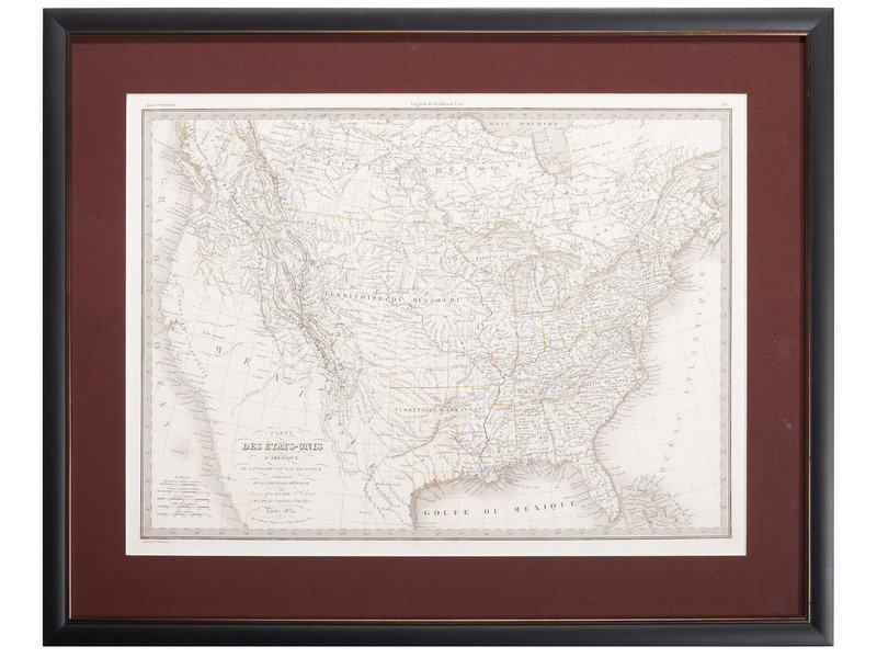
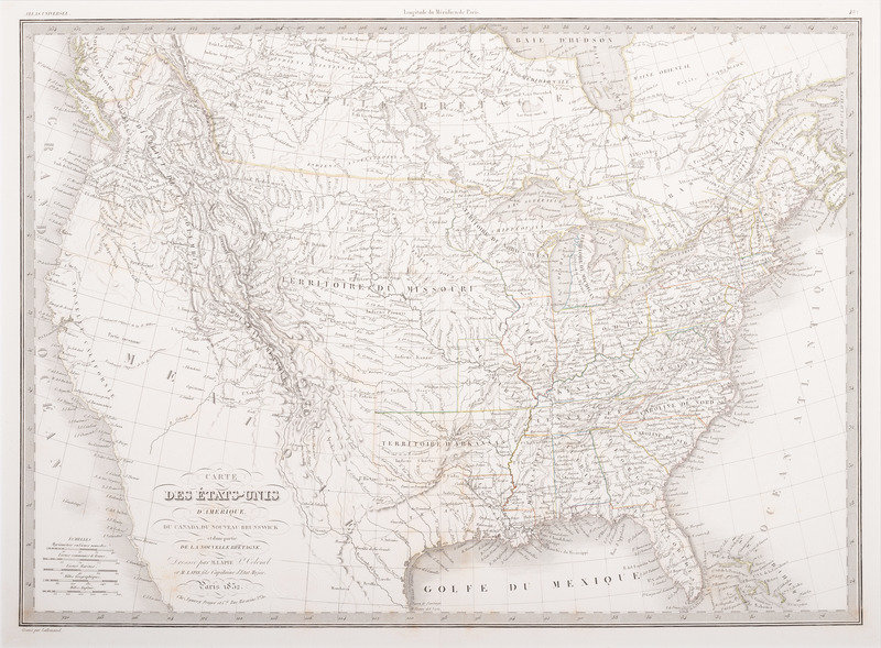
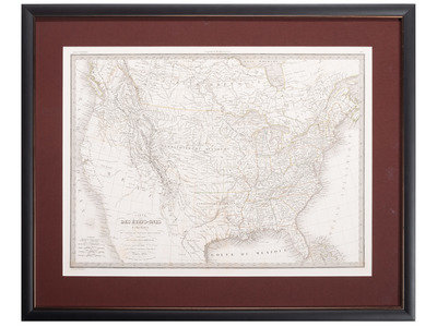
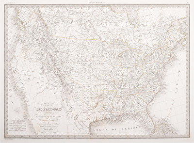
[MAPS & ATLASES]. EMILE, Alexander (1820-1886) and Pierre LAPIE (1777/1779-1850). Carte des Etats-Unis d'Amerique, du Canada, du Nouveau Brunswick et d'une Partie de la Nouvelle Bretagne, Atlas Universel. 1832.
Engraved map with hand-coloring, image 21 1/8 x 15 3/8 in. (visible 22 1/4 x 16 3/8 in. (Very faint occasional spotting). Matted and framed. Engraved by Lallemand with Alxender Lapie's embossed atlas stamp.
A expertly hand-colored French-language map of the United States including parts of Canada ("Nouvelle Bretagne"). Showing the Northwest Territory, the large Missouri Territory, and Arkansas Territory. Much of the southwest remains undefined and with Native American territory designated.
Eiteljorg Museum of American Indians and Western Art