To request further details about this lot, please email andrewtaggart@freemansauction.com

Andrew Taggart
Associate Vice President, Specialist, American Furniture, Folk and Decorative Arts
Sale 6520
| Philadelphia
| Philadelphia
To request further details about this lot, please email andrewtaggart@freemansauction.com
Andrew Taggart
Associate Vice President, Specialist, American Furniture, Folk and Decorative Arts
Estimate$1,000 – $1,500
Note:
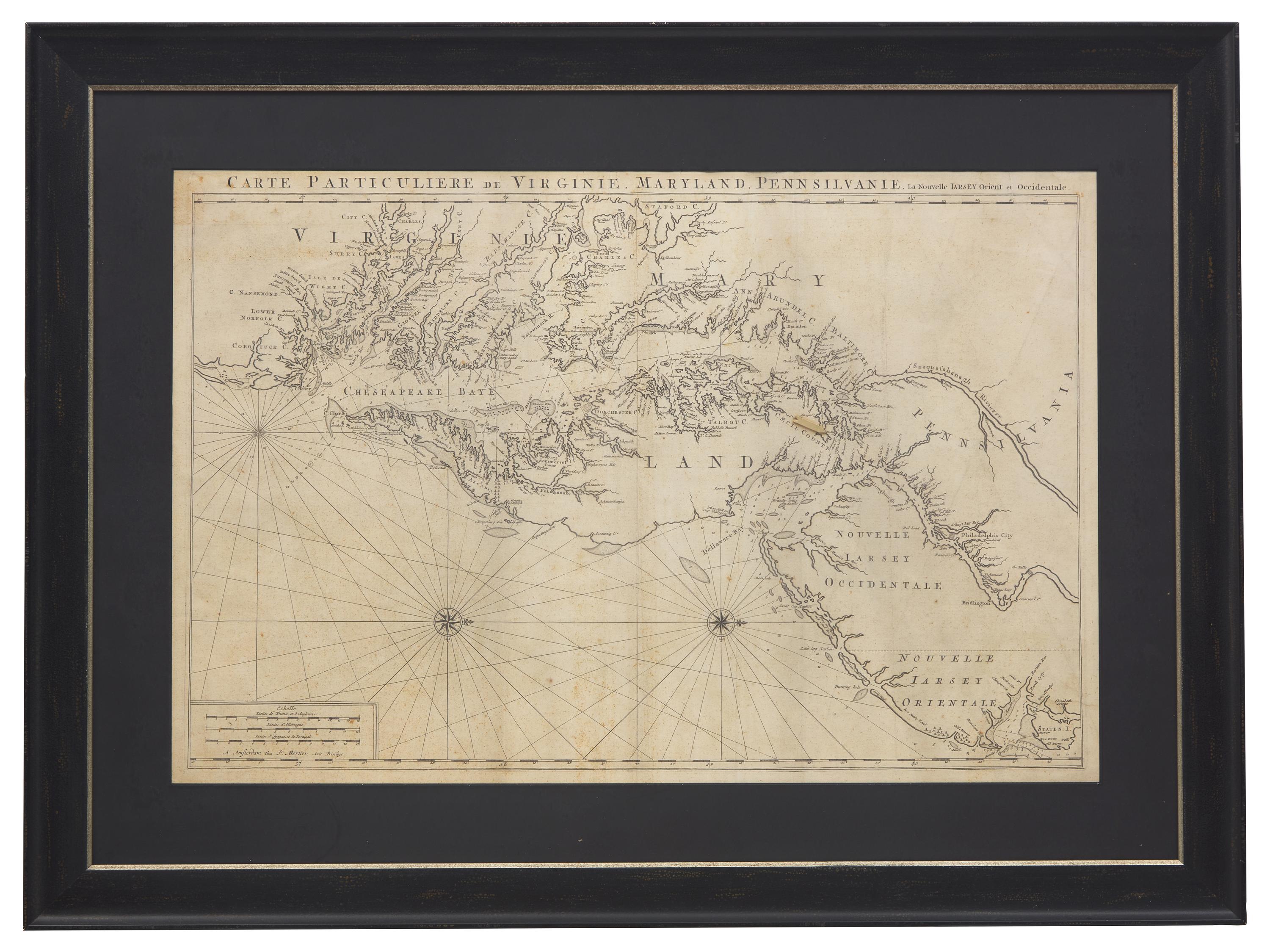
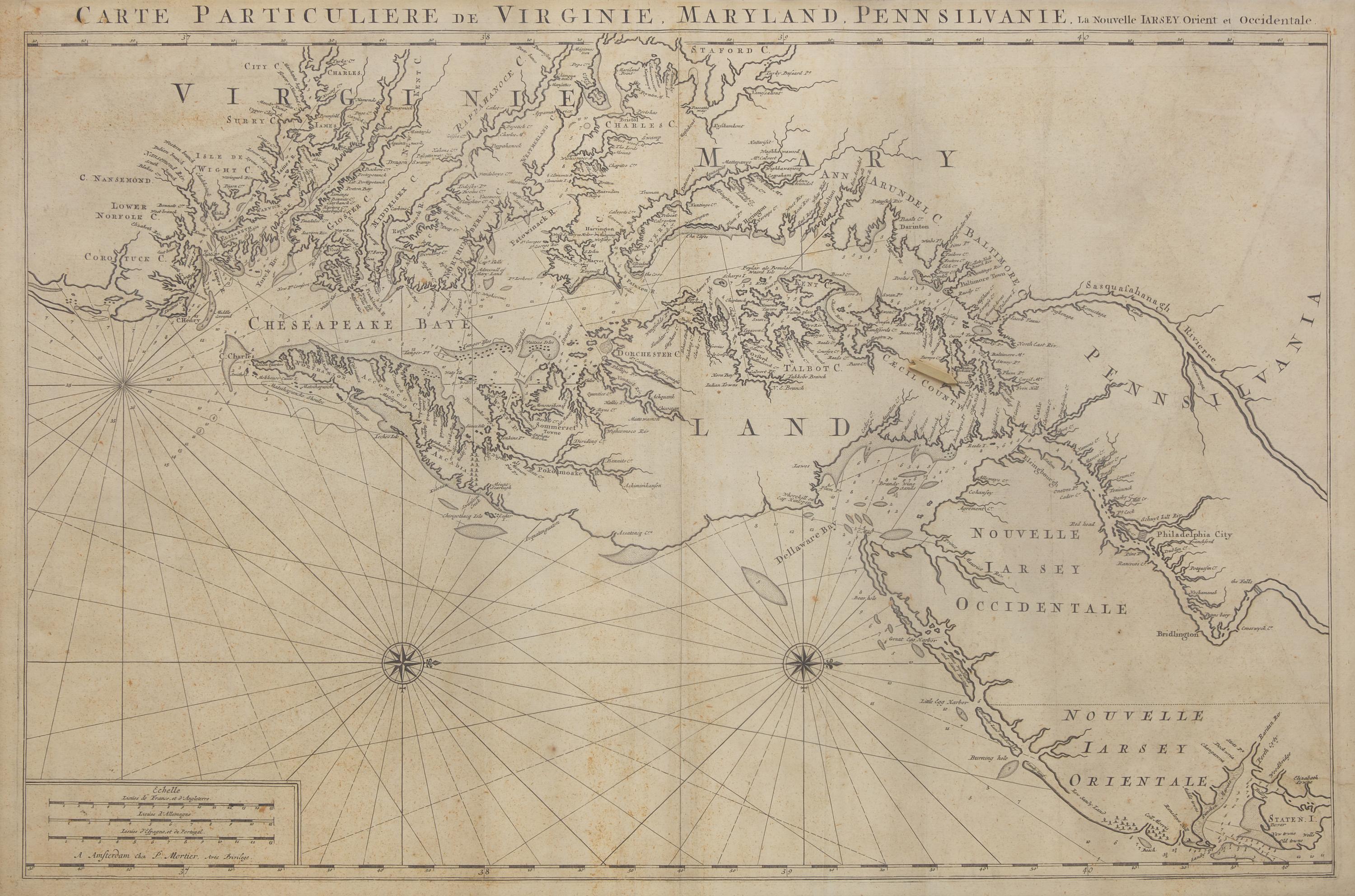
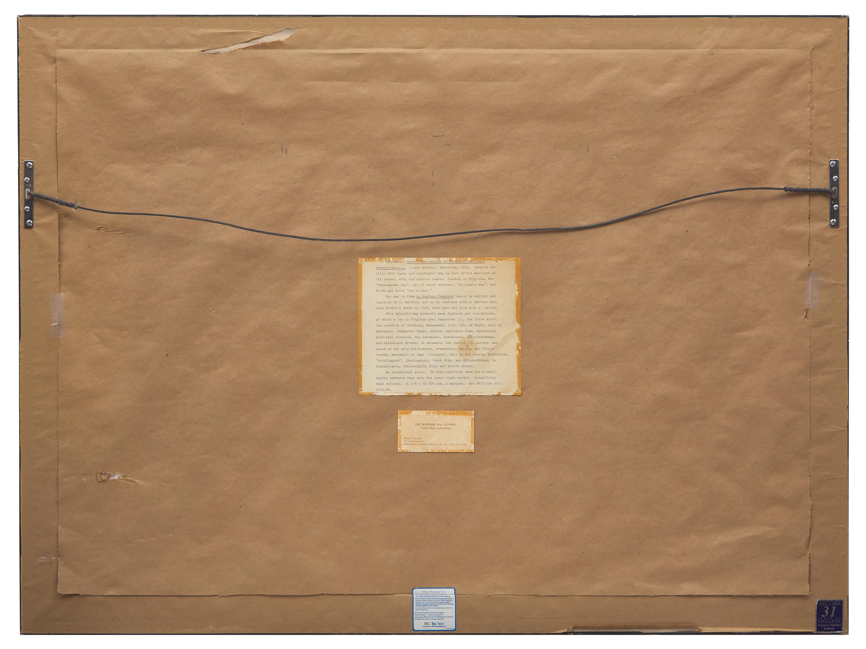
A handsome nautical chart of the Chesapeake and Delaware Bays, by Dutch engraver Pierre Mortier (1661-1711). First published in 1700 in Mortier's Suite de Neptune Francois, the map is largely based on John Thornton and William Fisher's 1689 map featured in their work, English Pilot, Fourth Book, which in turn is heavily based on Augustine Hermann's important survey of the region published in 1673/4.
Light toning, foxing, mat staining, vertical creases from folding, soft creases to lower right facing side, mended tear upper right edge, conservation tape along top edge possibly former hinges; discoloration to recto, a cardboard arrow is mounted upper right quadrant.
The physical condition of lots in our auctions can vary due to age, normal wear and tear, previous damage, and restoration/repair. All lots are sold "AS IS," in the condition they are in at the time of the auction, and we and the seller make no representation or warranty and assume no liability of any kind as to a lot's condition. Any reference to condition in a catalogue description or a condition report shall not amount to a full accounting of condition. Condition reports prepared by Freeman's staff are provided as a convenience and may be requested from the Department prior to bidding.
The absence of a posted condition report on the Freeman's website or in our catalogues should not be interpreted as commentary on an item's condition. Prospective buyers are responsible for inspecting a lot or sending their agent or conservator to inspect the lot on their behalf, and for ensuring that they have requested, received and understood any condition report provided by Freeman's.
Please email andrewtaggart@freemansauction.com for any additional information or questions you may have regarding this lot.