Back
Fine Cartographic and Printed Americana
|
- Sale 610
Live
Nov 12 | 3:59 AM CST
Live
Sale 610
To request further details about this lot, please email [email protected]
Please email [email protected] for any additional information or questions you may have
Estimate$800 – $1,200
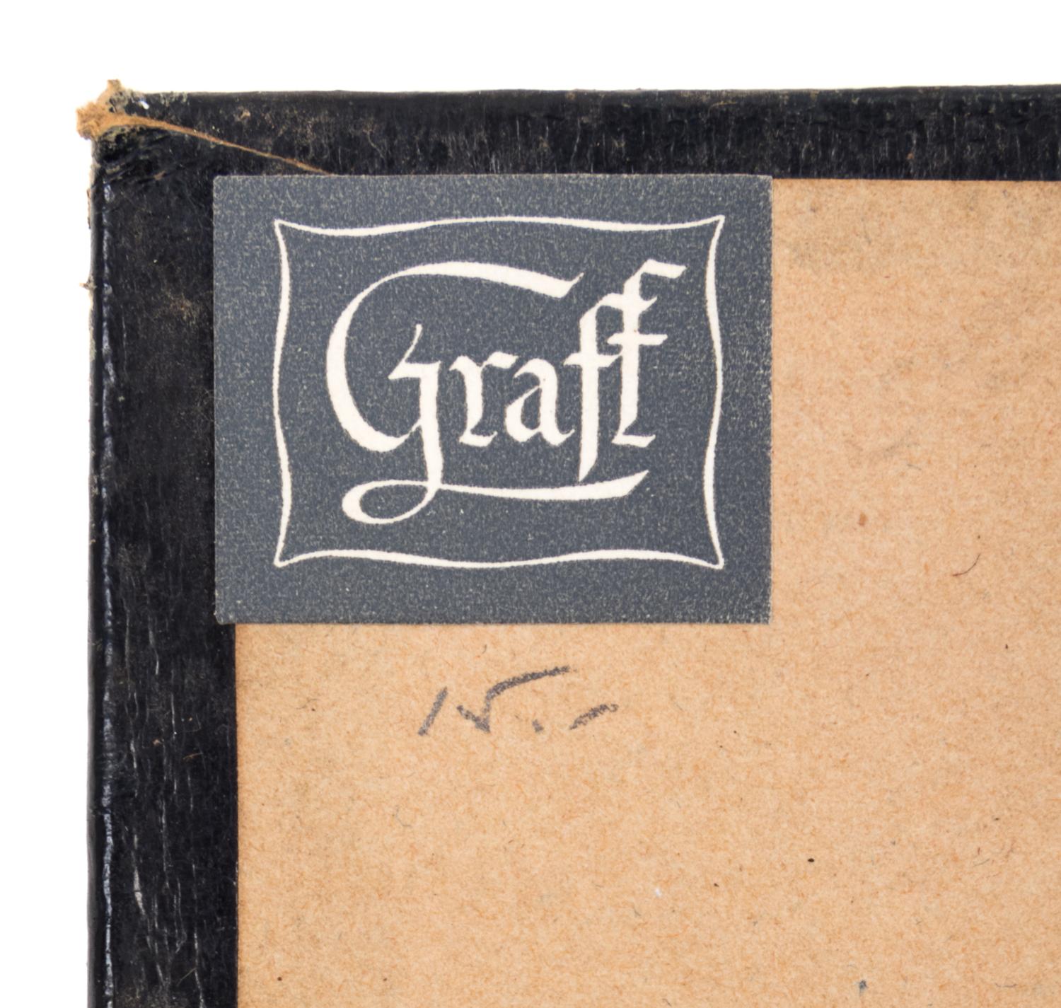
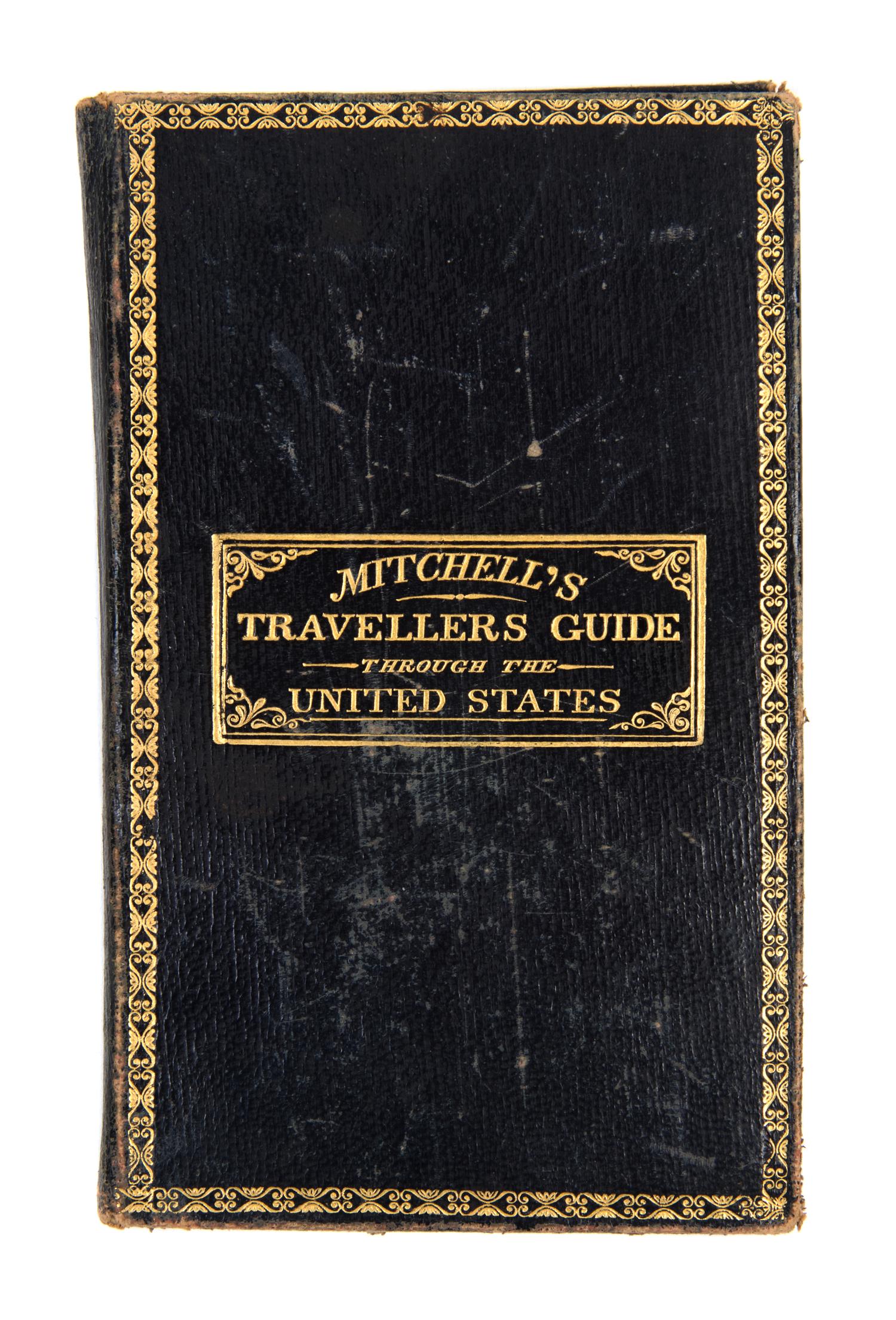
Provenance: A.P. Dearborn, Concord N.H. (early signature); J. E. P. (signature dated 1909) Henry B. Phillips (stamp); Everett D. Graff (bookplate).