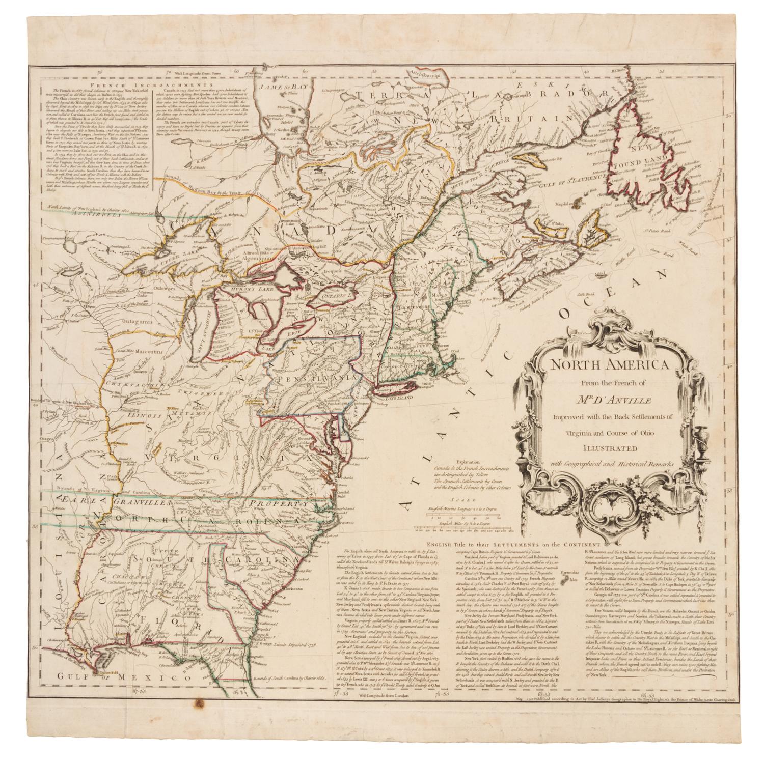
JEFFERYS, Thomas (1719-1771). North America From the French of Mr D'Anville. London, May 1755.
Engraved map of North America with hand-coloring in outline, image 455 x 504 mm (sheet 520 x 504 mm). Decorative cartouche, text in columns upper left and lower right corners. (Tiny hole in blank area, side margins trimmed close, creased.) FIRST EDITION, FIRST STATE, issued on the eve of the French and Indian War, Jefferys' map details the "English Title to their Settlements on the Continent" justifying the British claims in Canada and beyond the mountains, as well as the "French Incroachments." Stevens & Tree 51; Streeter I:55.