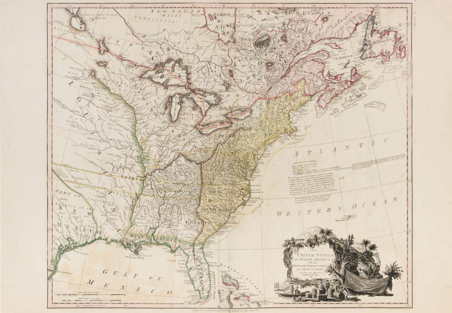
FADEN, William. The United States of North America with the British Territories and Those of Spain. London, February 11 1796.
Engraved map with hand-coloring of the United States, 528 x 625 mm image (569 x 807 mm sheet), decorative cartouche depicting a shipping scene, matted and framed. (A few short splits along fold repaired verso, two short marginal tears repaired.) Later edition of one of the first English maps delineating the boundaries of the newly-recognized United States. "Washington, or the Federal City" appears for the first time in this series, and the map shows both the short-lived state of Franklinia in eastern Tennessee as well as the "Tannasee Government." Tooley America 80f.