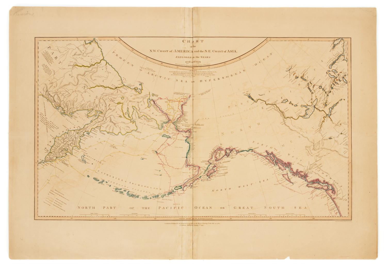
ROBERTS, Henry. Chart of the N.W. coast of America and N.E. coast of Asia exploed in the years 1778 & 1779. London, 1 Jan. 1794.
Engraved map of the Pacific coasts of Asia and America, hand-colored in outline, image 398 x 685 mm (sheet 548 x 793 mm). (Split at fold reinforced on verso, minor offsetting, a few short tears or splits occasionally crossing image repaired on verso.) Second edition (first published in 1784) of Robert's suppressed chart delineating Cook's final explorations of the Pacific, and including more detailed depictions of the Alaska and Northwest coasts than the chart published with the official account of the voyage.