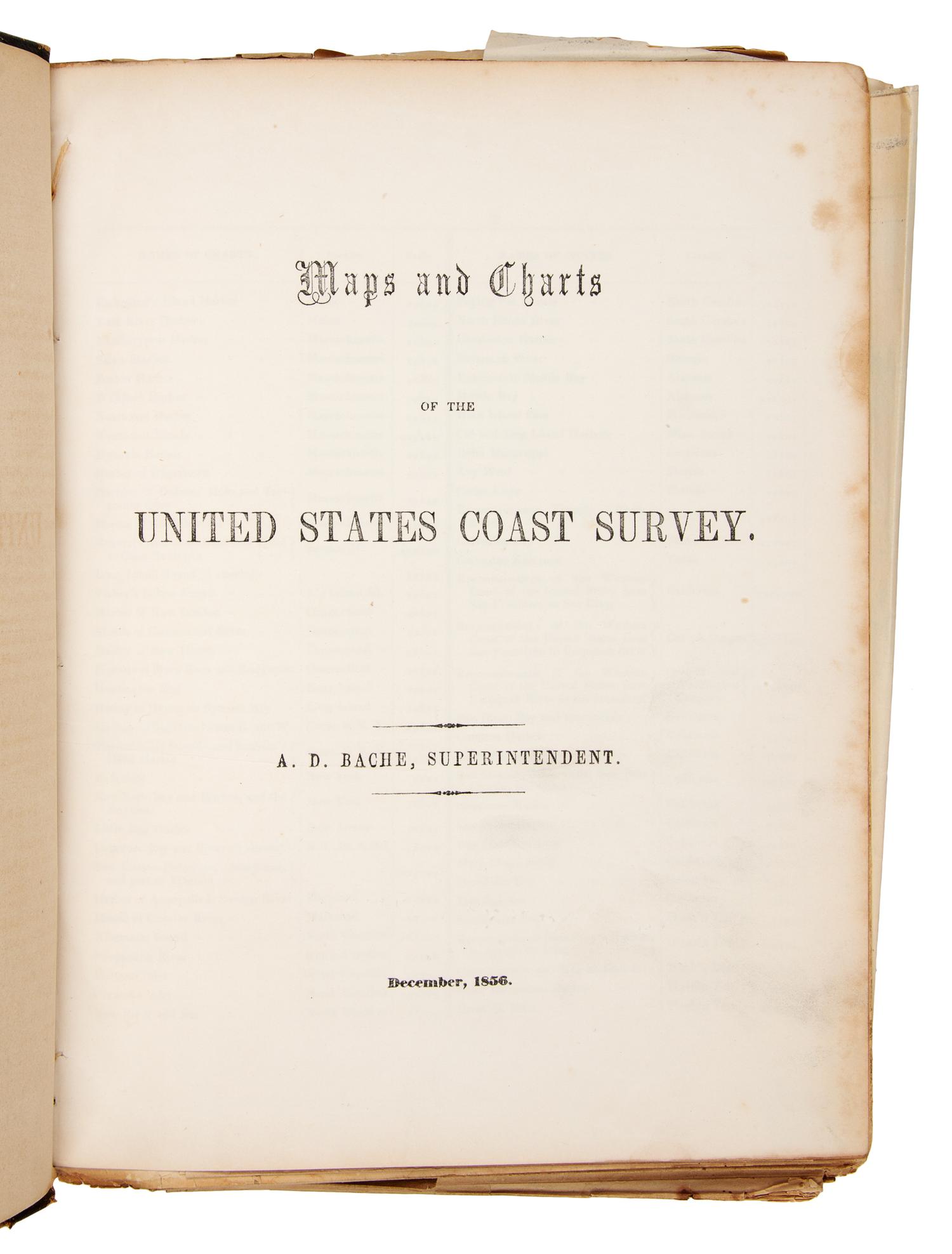
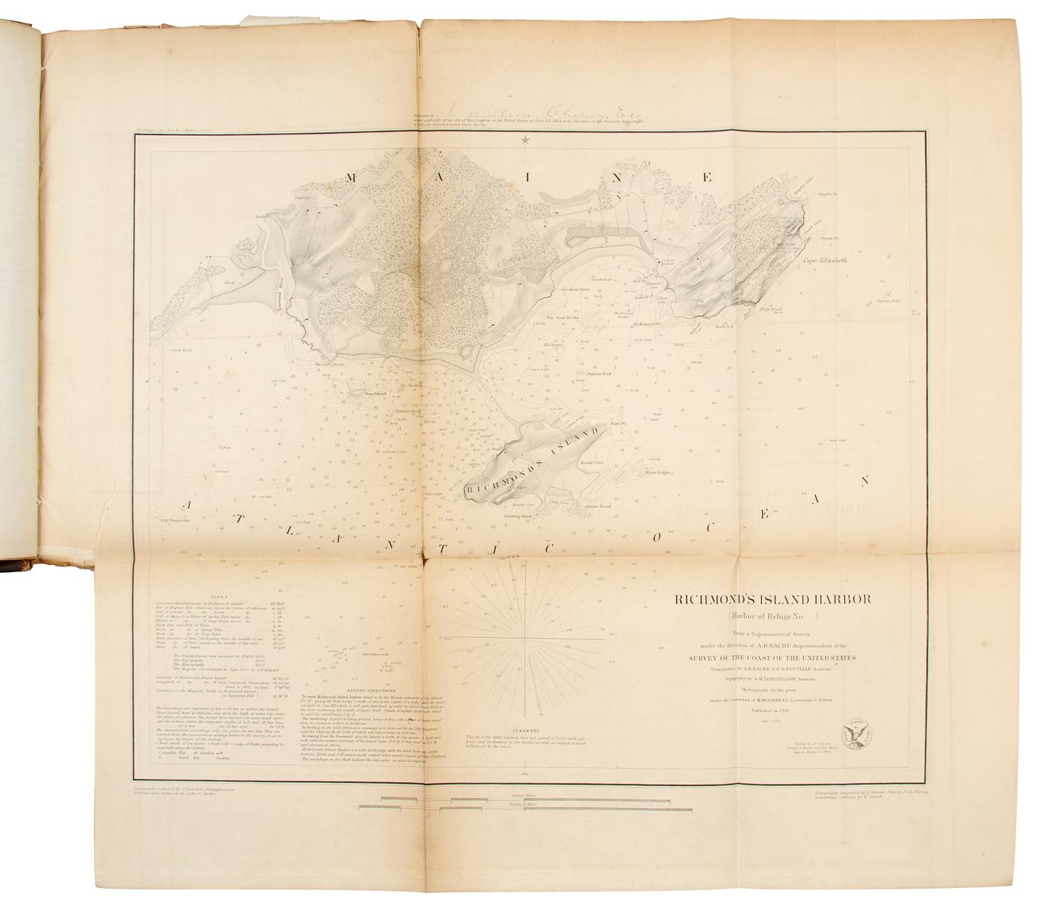
BACHE, Alexander D. (1806-1867) Maps and Charts of the United States Coast Survey. N.p.: n.p., 1854.
4to (290 x 215 mm). Letterpress contents leaf; 67 engraved folding maps, each with a notice at the top: "Printed under Authority of an Act of Congress of the United States of June 3d 1844 by direction of the treasury Department A. D. Bache Superintendent Coast Survey." (Some tears or splits along folds, occasionally crossing image.) Half blue roan, marbled boards (worn). Provenance: T. Apoleon Cheney (possible presentation label from A. D. Bache on pastedown); Treasury Department (label on pastedown). RARE EDITION. According to Rumsey: "Not an Annual Report! Unique edition - all engraved." Rumsey 2470.
Property from the Collection of the Elm Grove Public Library, Elm Grove, Illinois