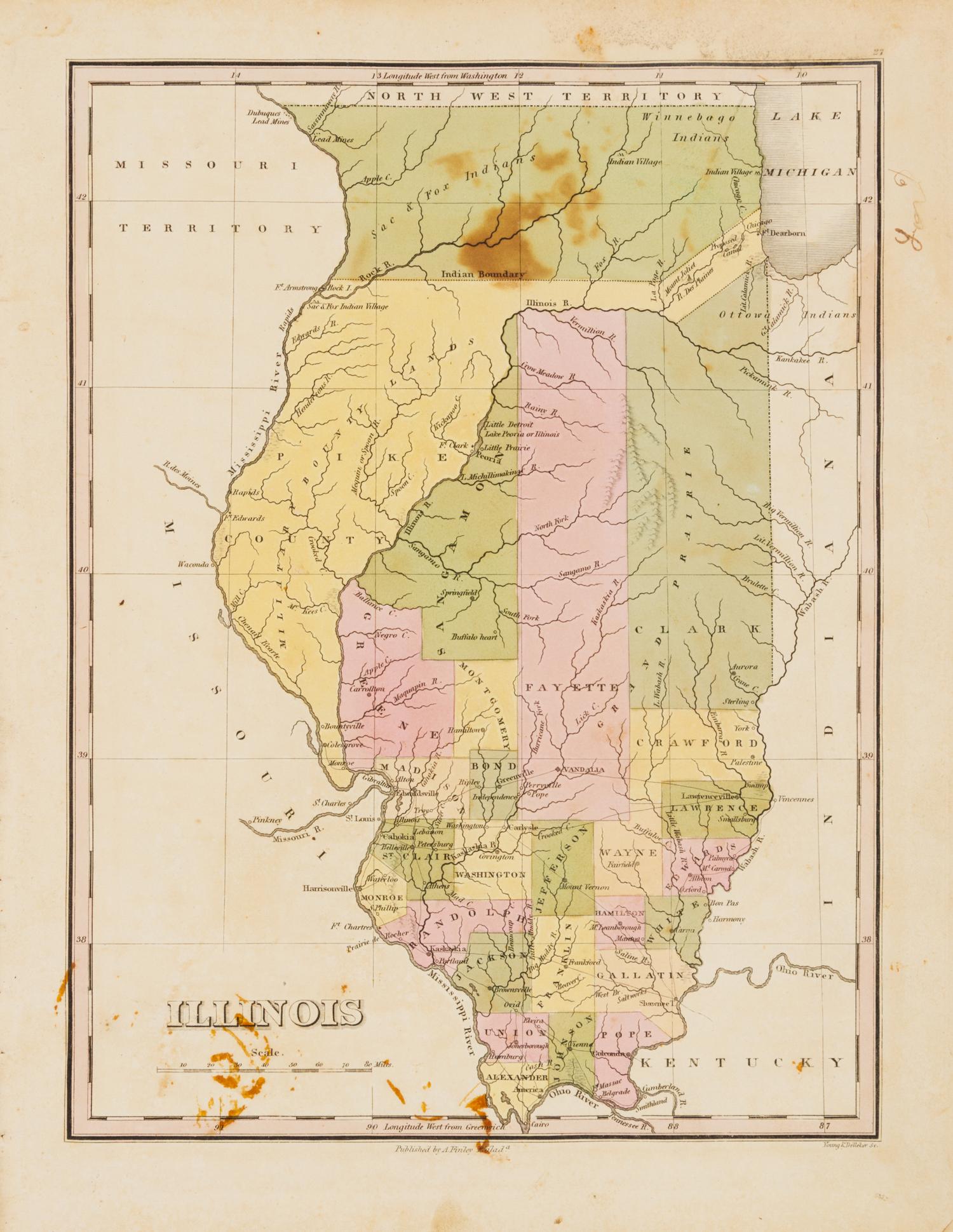
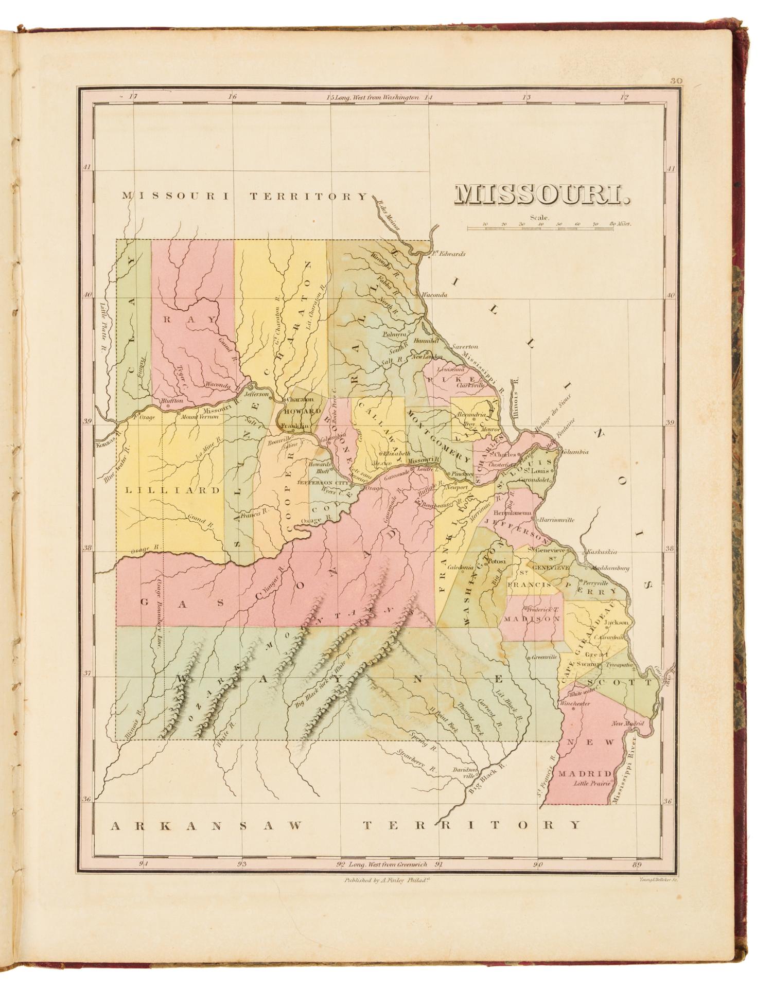
FINLEY, Anthony (ca 1790-1840) A New General Atlas. Philadelphia: Anthony Finley, 1824.
4to (340 x 260 mm). Engraved title, engraved list of contents, letterpress statistical table, 56 hand-colored engraved maps (of 58, lacking map 28, Mississippi, and map 29, Louisiana), 2 hand-colored engraved plates showing comparative heights of mountains and lengths of rivers. (Some spotting, staining or browning.) Original half red roan, marbled boards, printed label to upper cover (overall wear, hinges starting). FIRST EDITION of this early American atlas including maps of the developing states in the Midwest, including Indiana, Illinois, and Missouri, and depicting Chicago and Indian villages around Lake Michigan. Phillips Atlases 4314.
Property from the Collection of Richard Coy, Ann Arbor, Michigan