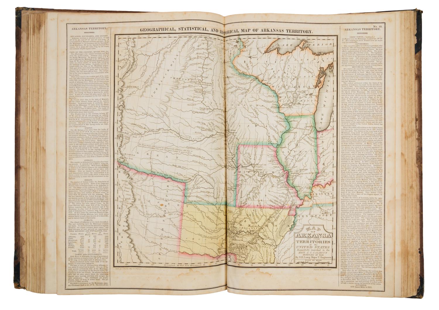
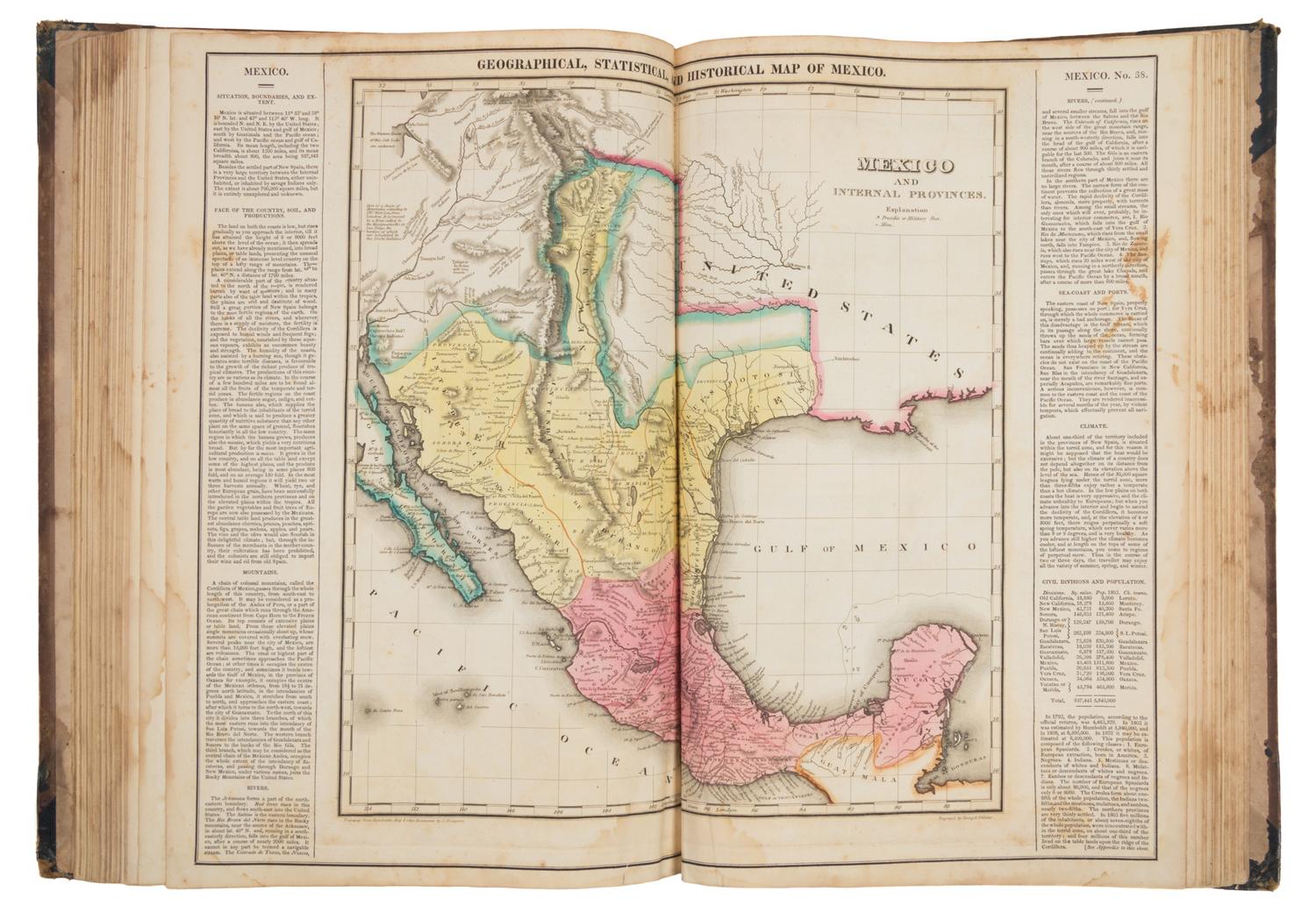
CAREY, Henry Charles (1793-1879) and Isaac LEA (1792-1886) A Complete...American Atlas. Philadelphia, 1822.
Folio (445 x 305). 47 hand-colored engraved maps printed within wide text borders, 3 hand-colored double-page charts, uncolored double-page engraved chart depicting comparative heights of mountains and lengths of rivers, mounted on guards. (Some spotting and browning.) Contemporary half roan, boards (worn, upper cover detached, endpapers torn, lower hinge starting, some staining). FIRST EDITION of one of the most important early American atlases, with the state maps mostly after F. Lucas, Jr. Wheat calls Stephen H. Long's map of the Arkansas Territory "the most interesting in the atlas." This edition is the first atlas to show Mexico as a country. Phillips 1373a; Wheat Mapping of the Transmississippi West 2:81.
Provenance: Francis S.D. Macomb (ownership signature dated 1832).
Property from the Collection of Richard Coy, Ann Arbor, Michigan