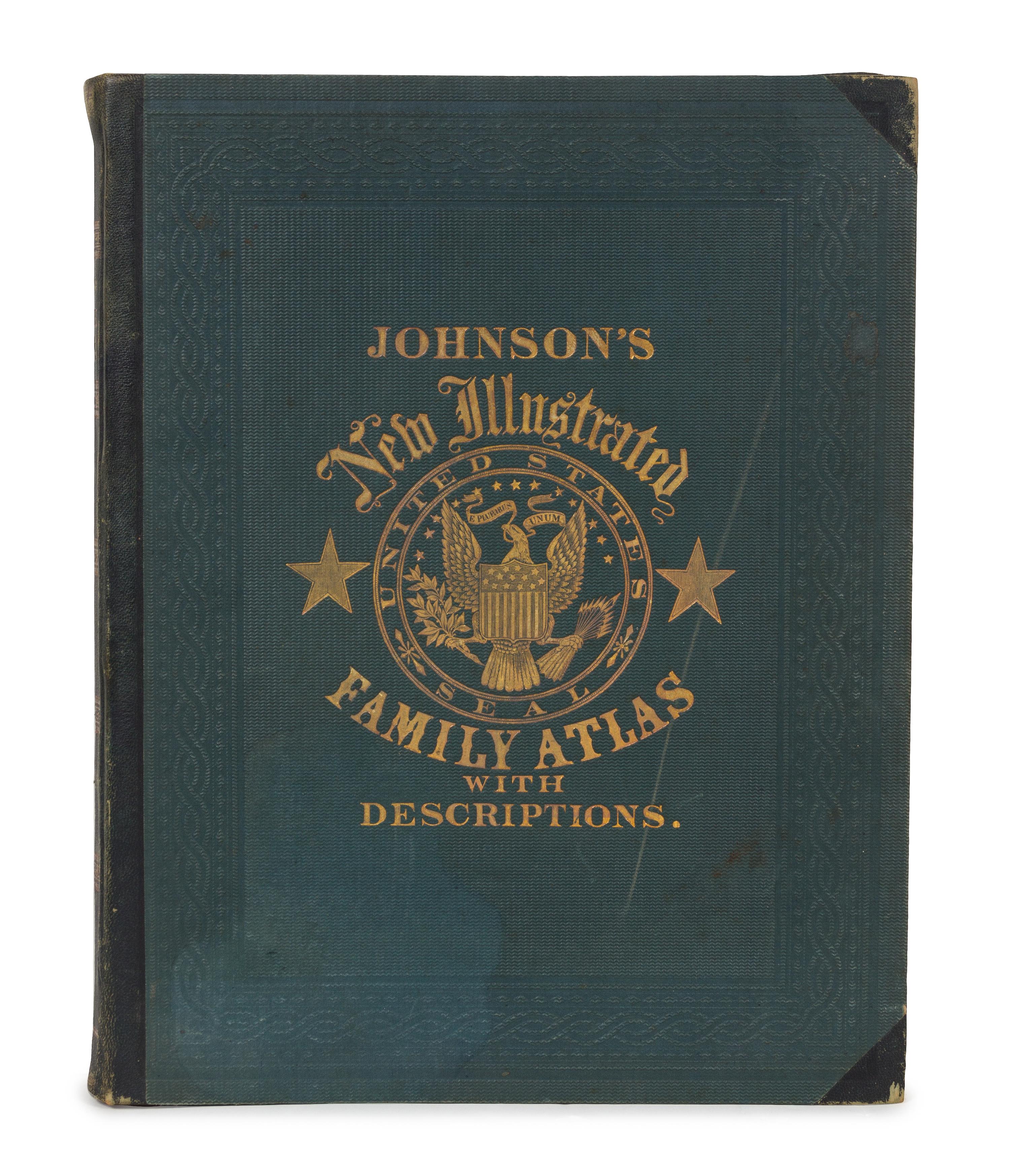
JOHNSON, Alvin J. (1827-1884) & BROWNING, Ross C. Johnson's New (Steel Plate) Illustrated Family Atlas... New York, 1862.
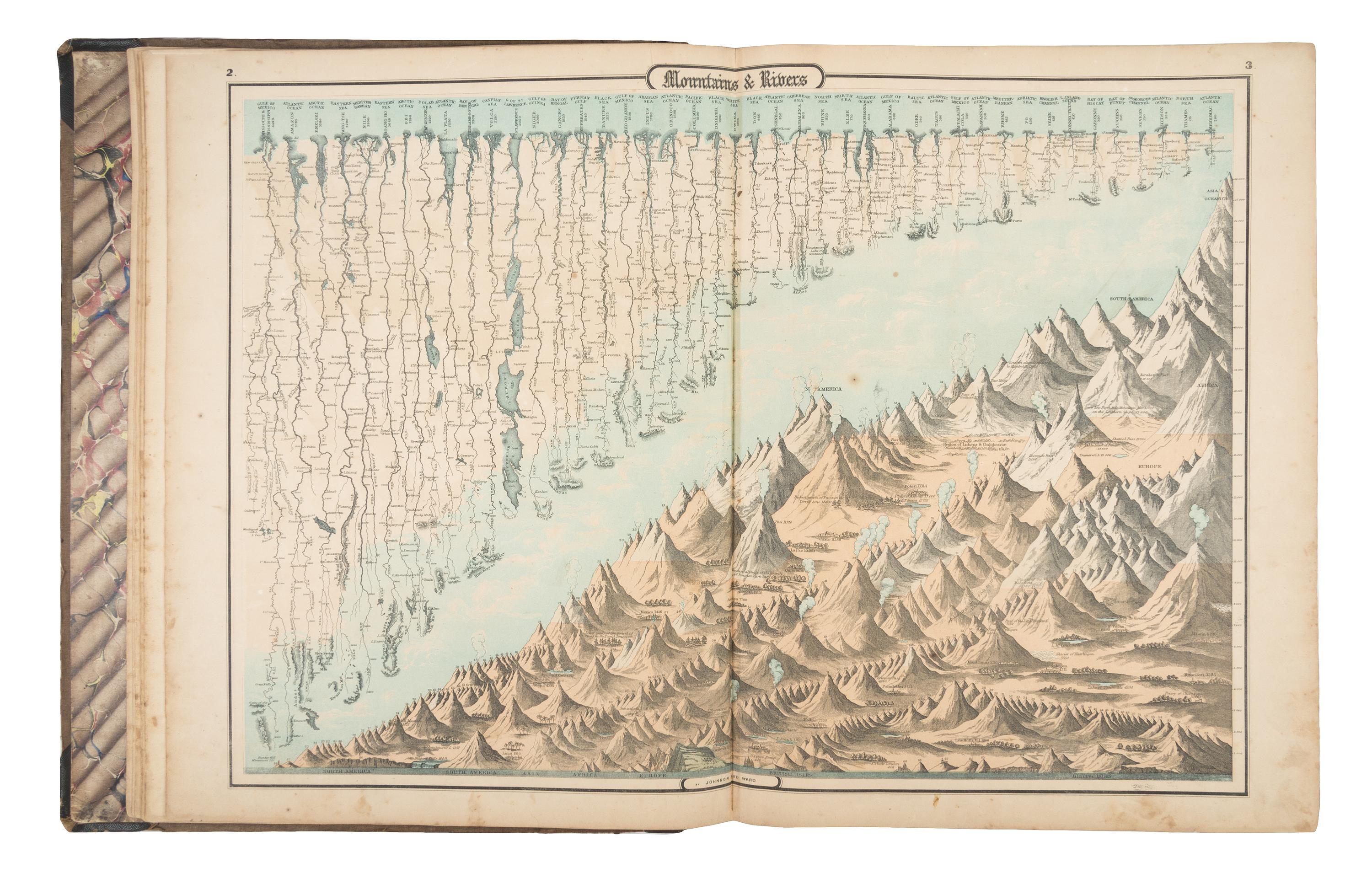
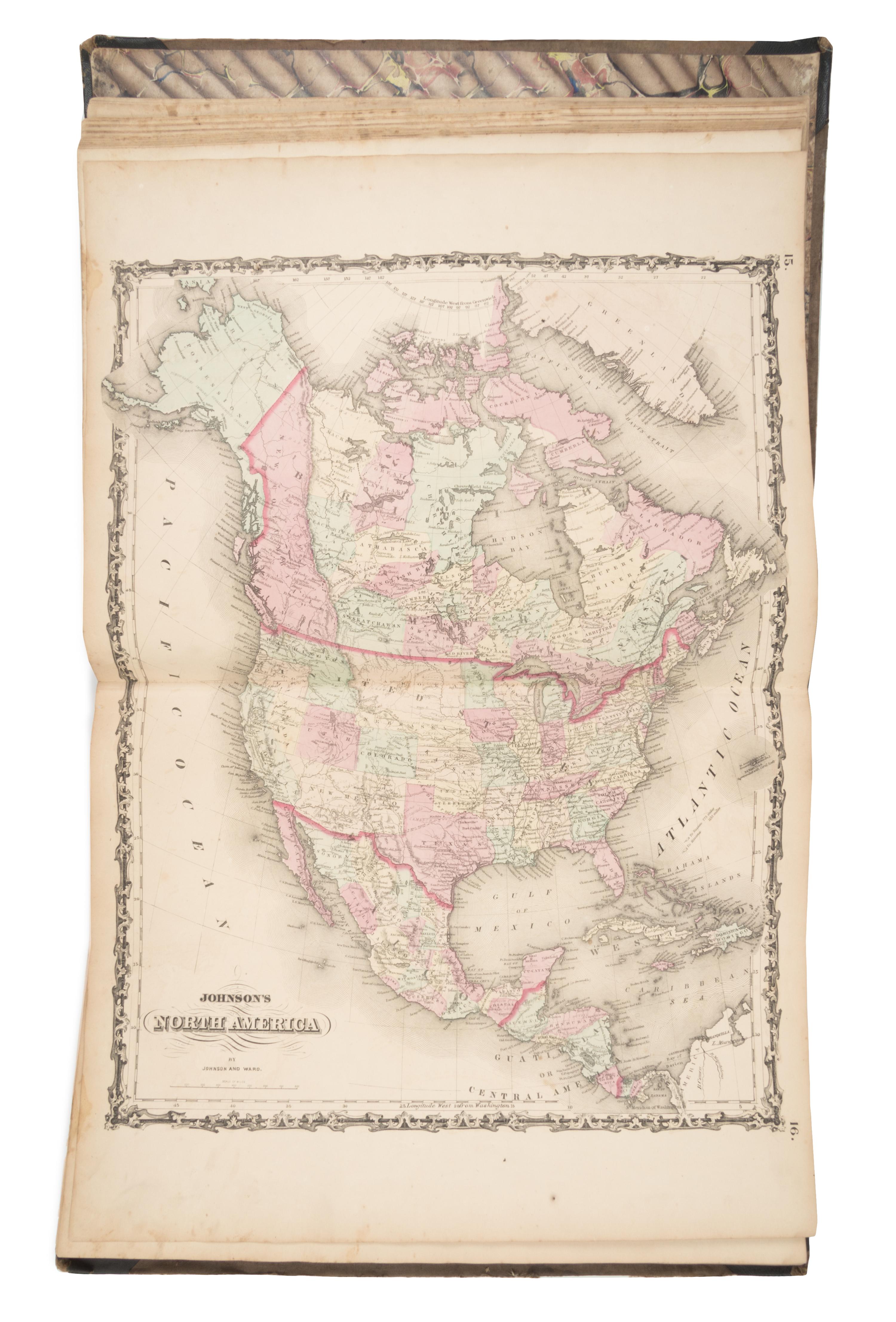
Johnson's New Illustrated (Steel Plate) Family Atlas, with Descriptions, Geographical, Statistical, and Historical. New York: Johnson and Browning, 1862. Folio (455 x 370 mm). 30 single-page maps and 31 double-page maps EXTRA ILLUSTRATED BY THE ADDITION OF 35 MAPS and 3pp. statistics, the atlas totalling 96 maps (complete list available on request. Publisher's half green morocco, gold-stamped cloth, marbled edges (slight rubbing to extremities). A SCARCE SUBSCRIPTION ATLAS. Johnson offered his customers the opportunity to receive updated maps or letterpress as they were published, and the present atlas seems to be a subscription copy enhanced by the addition of extra maps of virtually every state, including Nebraska, Dakota, Idaho, Montana, California, Utah, Nevada, Colorado, and New Mexico, as well as additional maps of Canada, Russia, France, Germany, China, Japan, Turkey, India, Australia and the East Indies. A FINE COPY OF THIS RARITY.
Property from the Collection of Richard Coy, Ann Arbor, Michigan