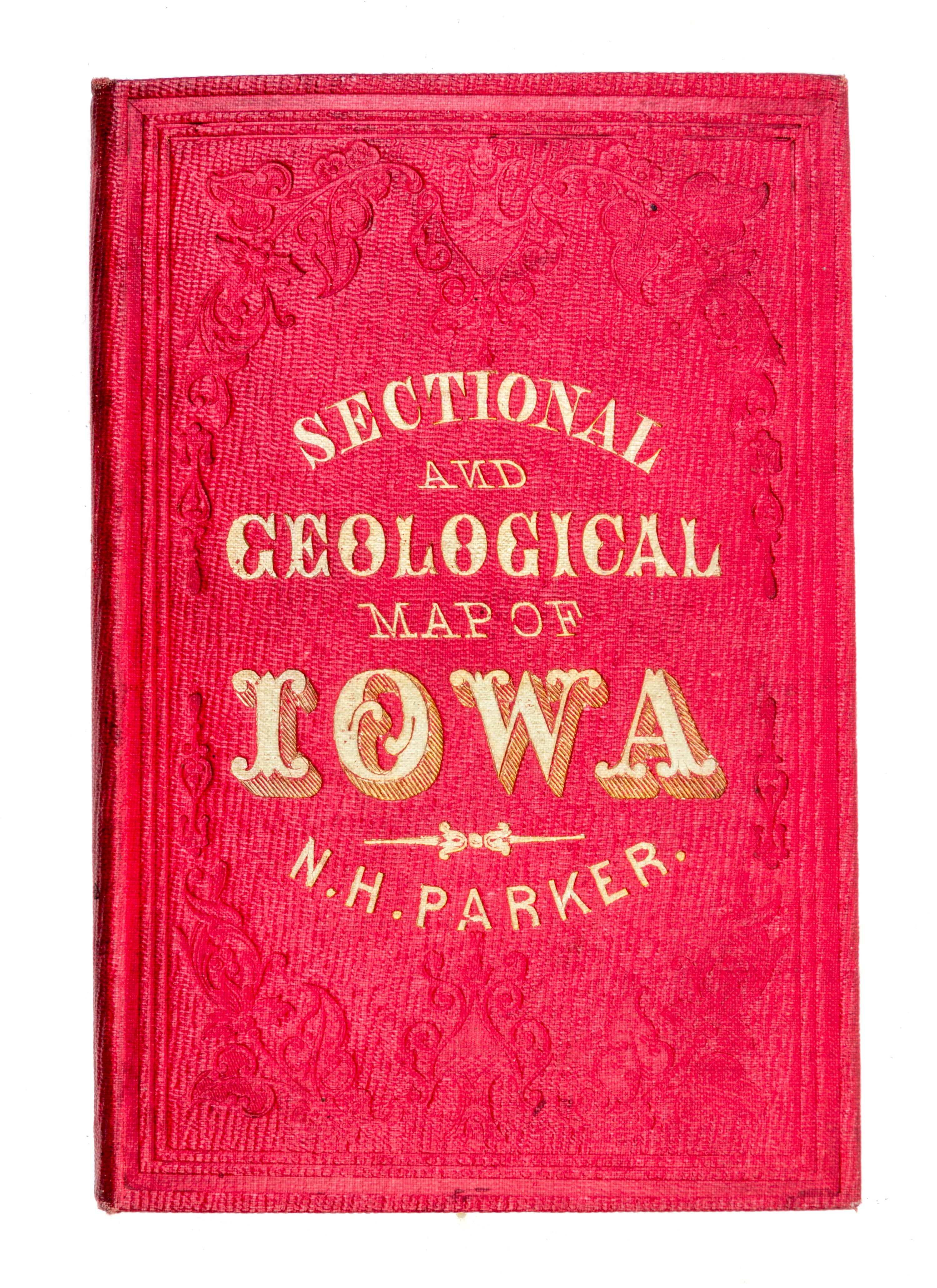
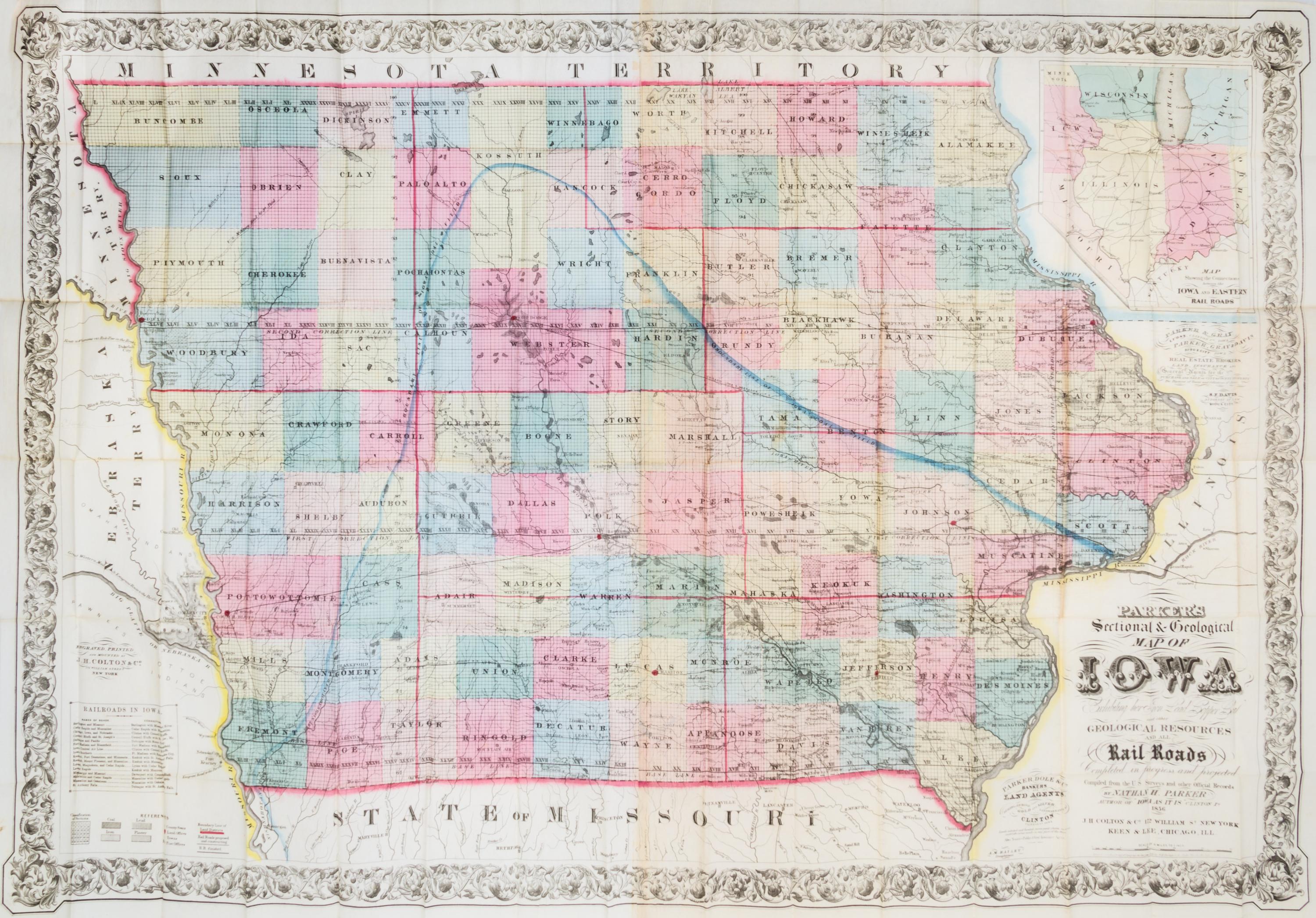
(MAP, IOWA) PARKER, NATHAN H. Parker's Sectional & Geographical Map of Iowa... New York, 1856
Parker's sectional & geological map of Iowa exhibiting her iron, lead, copper, coal and other geological resources and all rail roads completed in progress and projected. Compiled from the U.S. surveys and other official records. New York: J. H. Colton & Co.; Chicago: Kenn & Lee, 1856.Engraved folding pocket map (83 x 118 cm., sheet), printed on two joined sheets, with ornamental border. Folds into publisher's red cloth covers; decoratively stamped in blind, with upper cover titled in gilt. With full contemporary hand-coloring. Inset map titled Map showing the connections between Iowa and Eastern rail roads. With table of railroads and advertisements for land agents. The famed large pocket map of Iowa commissioned by Nathan H. Parker, a partner in the banking and land agency firm of Parker, Dole & Co., and issued as an inducement for settlement and investment in the region.