To request further details about this lot, please email conditionreports@freemansauction.com
Please email conditionreports@freemansauction.com for any additional information or questions you may have
Sale 5994
| Philadelphia
| Philadelphia
To request further details about this lot, please email conditionreports@freemansauction.com
Please email conditionreports@freemansauction.com for any additional information or questions you may have
Estimate$15,000 – $25,000
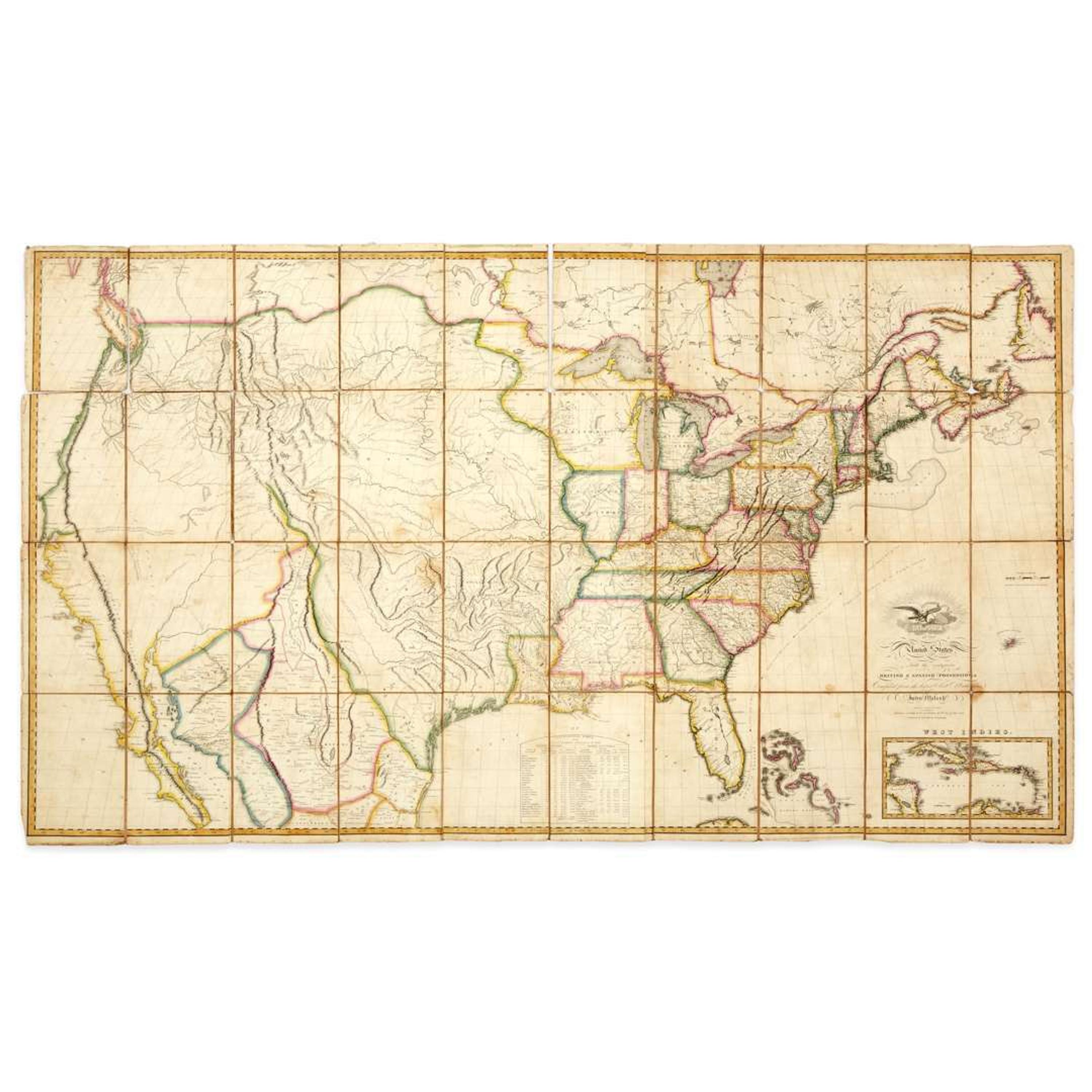
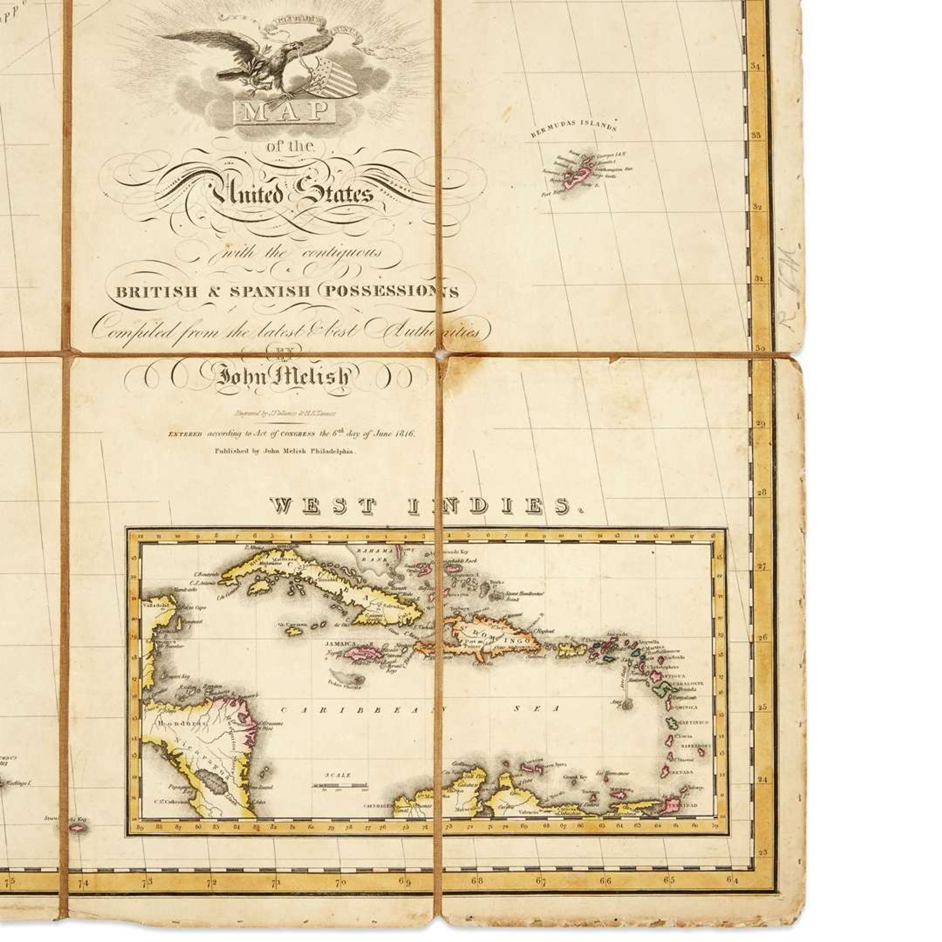
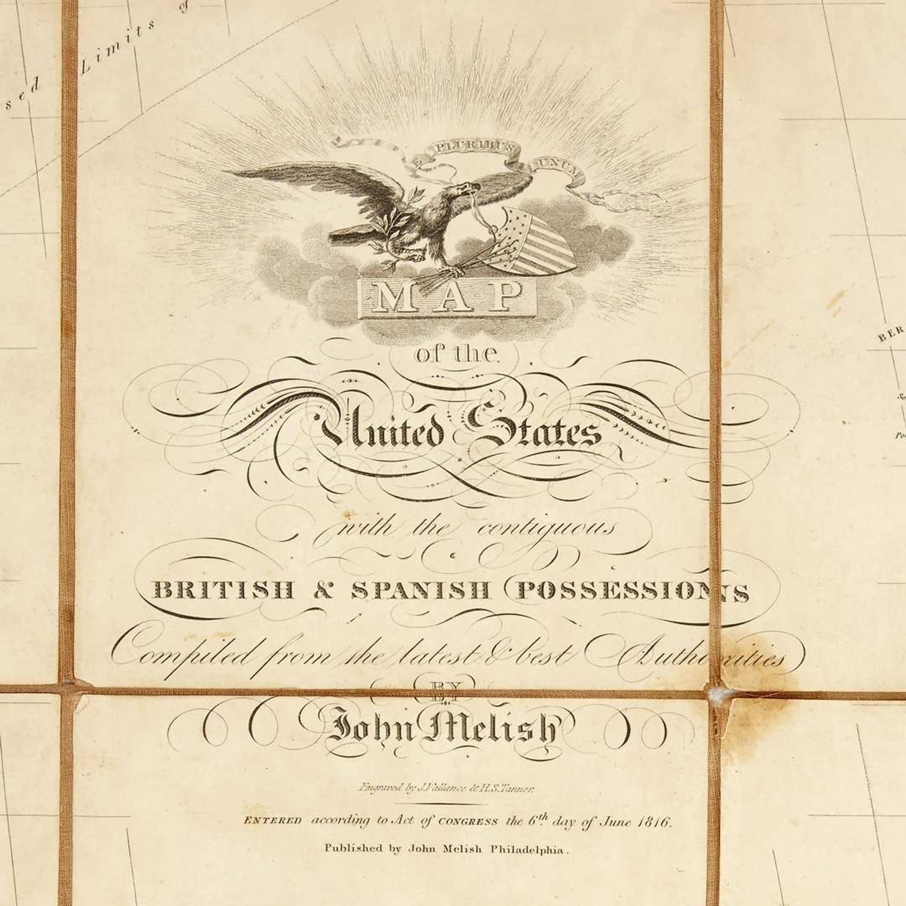
Engraved folding map by J. Vallance and H.S. Tanner, in 40 sections mounted on linen, hand-colored; Cadiz and Cambridge appear in Ohio, Frankfort is renamed Washington, Charleston replaces CH in Western Virginia, Great Falls and Salt works added to Virginia, N. Geneva is deleted and re-engraved near Union in SW Pennsylvania, the road between Steubenville and Zanesville is relocated in Ohio.
approx. 35 in. x 58 in. open.According to Walter Ristow (1908-2006), the pioneering map librarian and author, John Melish "played a leading role in bringing together from many and varied sources, the geographical knowledge of the period, and in presenting it in a attractive and orderly manner for the edification and enlightenment of citizens and visitors alike during the expanding and formative year of the young nation." Melish is considered the first accurate American map maker.
Born in Scotland, Melish settled in Philadelphia in 1812 and established a publishing company focused on maps and guidebooks. This map is one of only 100 of the 5th state or version printed in 1816. Twenty-five different states or versions were eventually printed between 1816-1823. They represent the first attempts to depict the territory beyond the Mississippi, and the first American map to depict the country from coast to coast. Constantly revised and "compiled from the latest & best authorities", Melish stated that "By the plan adopted, the subject is always new. The map is printed off 100 at a time, and before a new hundred be printed, the plates are revised, and if there be room for corrections or improvements, these are made accordingly." Widely appreciated, Melish maps were owned by John Adams, Thomas Jefferson, John Quincy Adams, James Monroe and James Madison.
Provenance: Property of a Virginia gentleman.