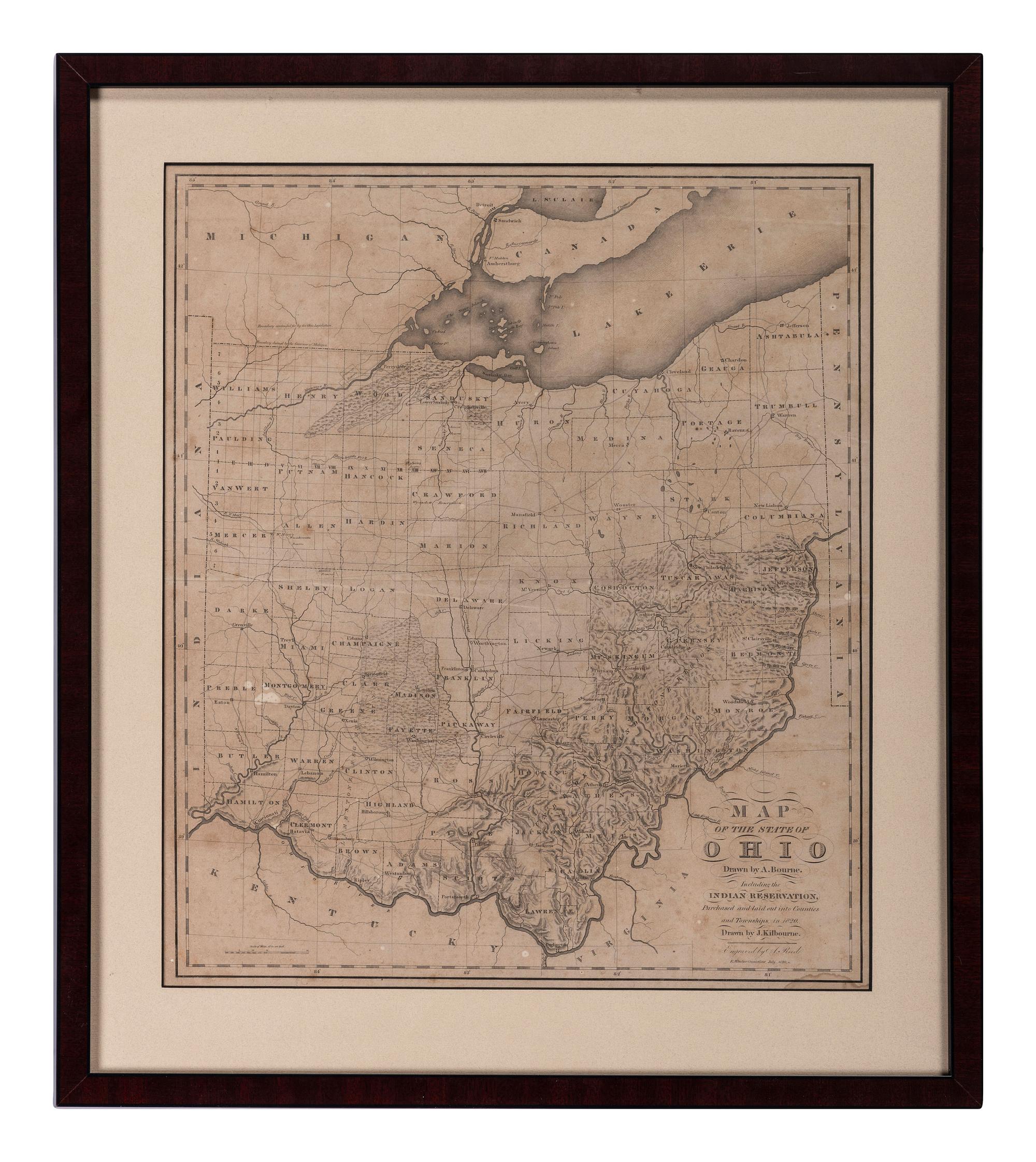
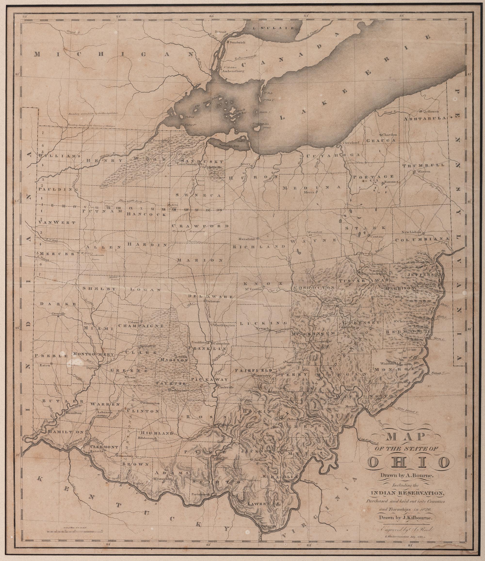
BOURNE, Alexander and KILBOURNE, John. Map of the State of Ohio Drawn by A. Bourne. Including the Indian Reservations, Purchased and laid out into Counties and Townships in 1820. Drawn by J. Kilbourne. Windsor, Connecticut, circa 1820.
Status
Closed
Result$286