To request further details about this lot, please email antiquities@hindmanauctions.com

Jacob Coley
Senior Vice President, Head of Department, Antiquities and Ancient Art
Sale 1099
| Chicago
| Chicago
To request further details about this lot, please email antiquities@hindmanauctions.com
Jacob Coley
Senior Vice President, Head of Department, Antiquities and Ancient Art
Estimate$1,500 – $2,500
Provenance:
Peter Sinclair, West Hurley, New York, acquired in the mid-1960s to mid-2000s; thence by descent.
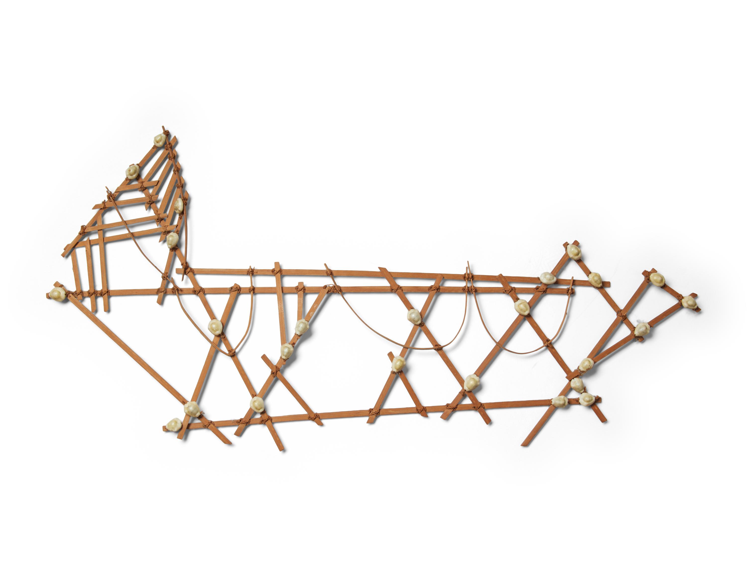
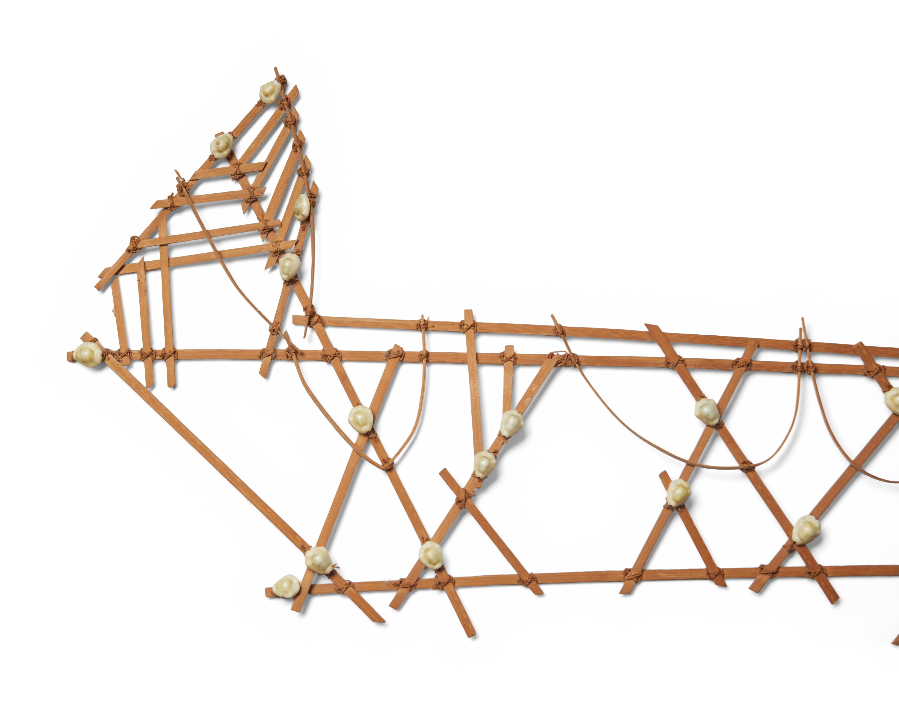
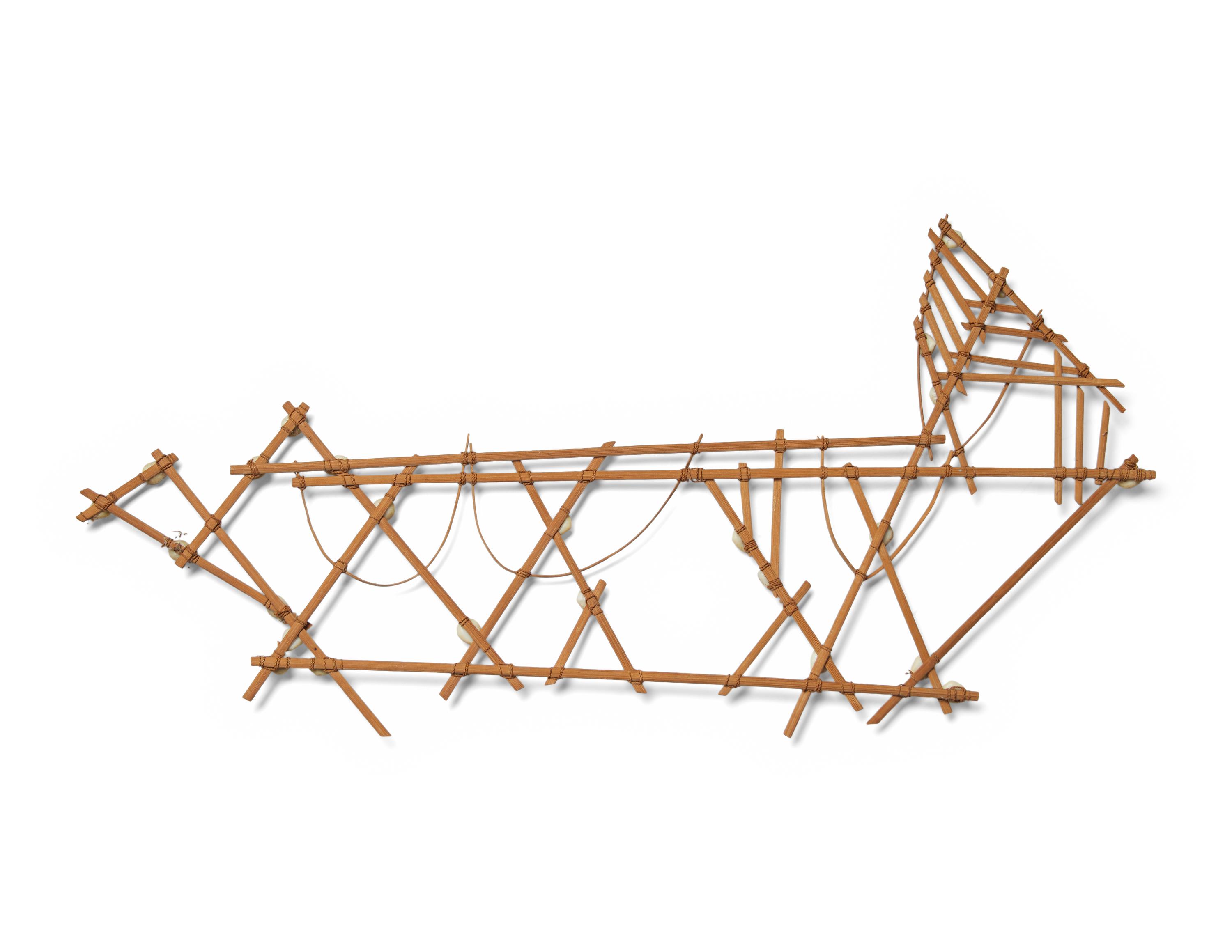
Master navigators once used Navigation Charts like this one from the Marshall Islands for navigation between the islands by showing currents and wave patterns. These types of Stick Charts were made to represent significant ocean swell patterns and the ways the islands disrupted those patterns. Island locations were represented by shells tied to the framework, or by the lashed junction of two or more sticks.