


Condition Report
Contact Information
Auction Specialist
Lot 128
Sale 2098 - South of Broad: The Charleston Home of Darla Moore by Tony Ingrao
Sep 13, 2024
10:00AM CT
Live / Chicago
Own a similar item?
Estimate
$800 -
1,200
Price Realized
$1,080
Sold prices are inclusive of Buyer’s Premium
Lot Description
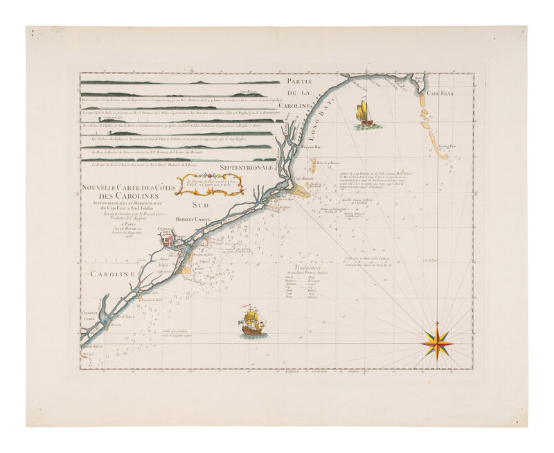
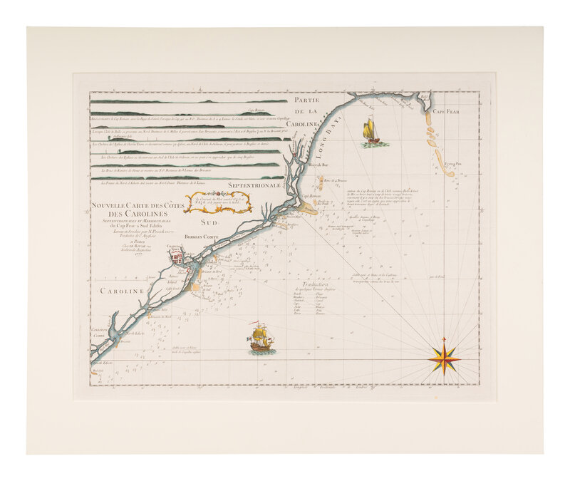
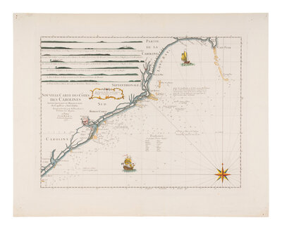
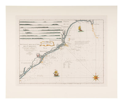
[MAP]. LE ROUGE, Georges-Louis (1712-1790). Nouvelle Carte des Cotes des Carolines. Paris, 1777.
Engraved map with hand-coloring. Matted and hinged, sheet 533 x 673 mm, pinholes at corners, horizontal crease tissue reinforced on verso. Plan of Charleston, decorative ships, radiant compass rose, and coastal elevations inset to the interior.
A handsome example of a sea chart prepared by Le Rouge for use by the French Navy during the Revolutionary War as their navy engaged British ships on numerous occasions along the Carolina coast. This chart was included in Le Rouge's Atlas Ameriquain Septentrionale, based on manuscript charts produced by Nathaniel Pocock (1740-1821), presumably by a British mapmaker. Phillips, p.819.
Property from The Private Collection of Ms. Darla Moore, Charleston, South Carolina