


Condition Report
Contact Information
Auction Specialist
Lot 126
Sale 2098 - South of Broad: The Charleston Home of Darla Moore by Tony Ingrao
Sep 13, 2024
10:00AM CT
Live / Chicago
Own a similar item?
Estimate
$2,000 -
3,000
Price Realized
$2,413
Sold prices are inclusive of Buyer’s Premium
Lot Description
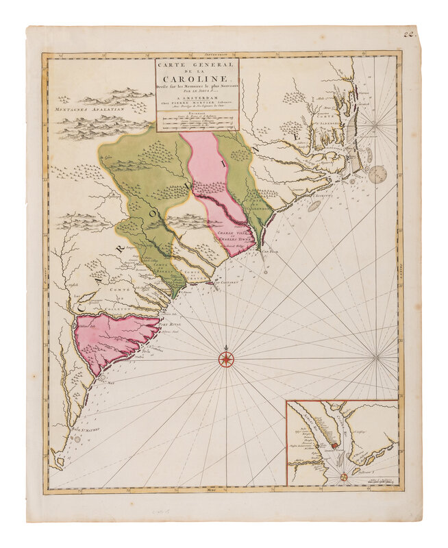
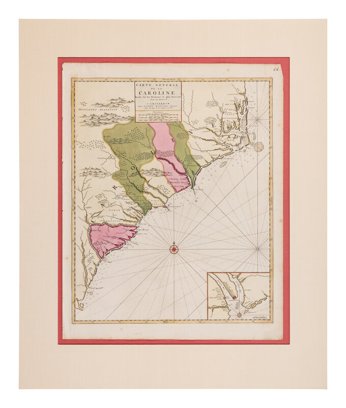
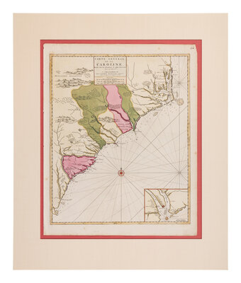
[MAP]. MORTIER, Pierre (1661-1711). Carte General de la Caroline. Amsterdam, 1700.
Engraved map with hand-coloring. Matted and hinged, sheet 641 x 508 mm, light spotting, contemporary inked numerals in upper right corner. Inset map of Charleston in lower right corner.
FIRST STATE OF THE FIRST MAP OF CAROLINA PUBLISHED OUTSIDE OF ENGLAND. This map is directly derived from the rare 1685 A New Map of Carolina by John Thornton, Robert Morden and Philip Lea, which is considered one of the most important early maps of the Carolinas. All topographical details are identical to those of its antecedent, however most of the place names have been Gallicized. Also, The table of settlers has been omitted in favor of the title caption. The present map was included as part of Mortier's Suite de Neptune François, published in Amsterdam in 1700, and often incorrectly attributed to Nicolas Sanson. Burden II:767; Cummings 120.
Property from The Private Collection of Ms. Darla Moore, Charleston, South Carolina